Area Overview for Angmering & Findon Ward
Photos of Angmering & Findon Ward
Area Information
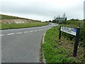
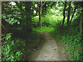
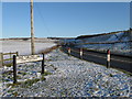
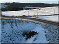
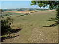
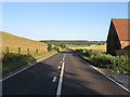
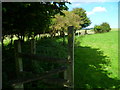
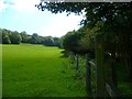
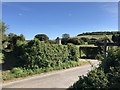
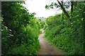
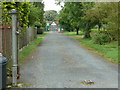
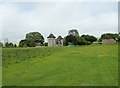
Angmering & Findon Ward occupies a rural stretch of the Arun District in West Sussex, covering 47.3 square kilometres of the South East of England. This electoral division sits within the Arundel & South Downs Parliamentary constituency and encompasses the villages of Angmering, Clapham, Findon, Patching and Poling. You will find a population of 1,566 residents spread across this extensive land area, resulting in one of the lowest population densities in the region at just 33 people per square kilometre. Life here moves at a deliberate pace, typical of the countryside surrounding Chichester and Brighton. The ward is defined by its villages rather than a single town centre, which shapes how you navigate your daily routine. You are located approximately 50.84226°N 0.45645°W within the broader South Downs landscape. This setting creates a community where distances between properties are significant, yet the connection to local village life remains strong. Buying a home in Angmering & Findon Ward means securing a location deeply integrated into the natural environment while maintaining access to the wider county council services provided by West Sussex County Council.
- Area Type
- District Borough Unitary Ward
- Area Size
- 47.3 km²
- Population
- 1566
- Population Density
- 33 people/km²
Demographics
The community profile of Angmering & Findon Ward reveals a distinct demographic skew towards retirement living. The median age stands at 70 years, indicating that the neighbourhood is primarily populated by an older generation. You will find that the most common age group reflects this trend, with the majority of households comprising older adults. Home ownership is a defining feature of daily life here, with 80% of residents owning their homes outright or with a mortgage. This high level of ownership suggests long-term stability and residents who have likely stayed in their communities for decades. Accommodation types generally mirror this ownership trend, favouring detached or semi-detached family homes rather than high-density rented units. While specific household composition details are not broken down further, the ownership percentage alone suggests a legacy of inter-generational living. You should anticipate a quiet neighbourhood where fewer people rent, contrasting sharply with urban estates where rental turnover is frequent. The area represents a secure environment for people seeking a stable home base without the volatility of the private rental market.
Household Size
Accommodation Type
Tenure
Ethnic Group
Religion
Household Composition
Age
Household Deprivation
NS-SEC
Explore more demographic insights in this area
Go to Demographics tabPlanning
Planning Constraints
- Flood RiskPremium
- Ramsar Wetland SitesPremium
- Area of Outstanding Natural BeautyPremium
- Protected Nature ReservePremium
- Protected WoodlandPremium
- Crime RiskPremium