Area Overview for Adwell
Photos of Adwell
Area Information
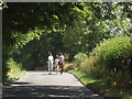
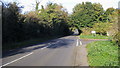
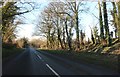
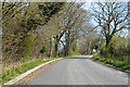
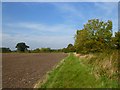
Living in Adwell offers a specific type of rural experience. This civil parish is small, covering just 1.4 square kilometres. You will find a quiet setting where space is at a premium. The area is defined by its compact nature rather than sprawling infrastructure. Daily life here involves close proximity to your neighbours and immediate access to local ground. This physical layout means that amenities are concentrated, yet the overall footprint remains limited. The distinction of Adwell is its defined boundaries and manageable scale. You are looking at a community where the environment dictates the pace of life. There are no large commercial zones or dense urban grids. Instead, the landscape is the primary feature of your surroundings. The parish structure suggests a traditional form of local governance and community organisation. For anyone considering homes in Adwell, the reality is a constrained but clear geographical area. This simplicity can be appealing if you value a straightforward rural location without layers of administrative complexity. The area does not boast vast expanses, but it offers a complete package within a very small footprint. You will appreciate the directness of the layout when considering your move.
- Area Type
- Parish
- Area Size
- 1.4 km²
- Population
- Not available
- Population Density
- Not available
Demographics
The community profile of Adwell tells a clear story about who resides here. With a median age of 70, the population is significantly older than the national average. This data point defines the social fabric of the parish. You are not moving into an area driven by young families or students. The age distribution indicates a retirement settlement or a location for established older residents. Home ownership stands at a high level of 66%. This figure suggests stability and long-term residency among the population. A two-thirds majority of households own their property, which reduces the number of long-term tenants. The demographic data does not provide specific figures for household composition, ethnic groups, or religious affiliations. Consequently, you must rely on the age and ownership statistics to understand the social environment. As a result, the area likely caters to those seeking a settled lifestyle. The high proportion of older owners shapes local services and community activities. You will find a neighbourhood where independence for the elderly is a key consideration. This specific demographic makes Adwell suitable for buyers who align with this age profile. The lack of younger population data reinforces the view of an older, steady community.
Household Size
Accommodation Type
Tenure
Ethnic Group
Religion
Household Composition
Age
Household Deprivation
NS-SEC
Explore more demographic insights in this area
Go to Demographics tabPlanning
Planning Constraints
- Flood RiskPremium
- Ramsar Wetland SitesPremium
- Area of Outstanding Natural BeautyPremium
- Protected Nature ReservePremium
- Protected WoodlandPremium
- Crime RiskPremium