Area Overview for Adur District
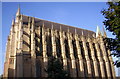
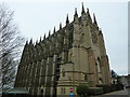
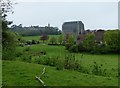
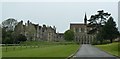
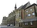
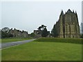
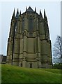
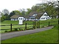
Photos of Adur District
Area Information
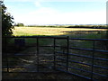
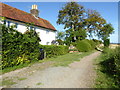
Adur District forms a local authority district covering an area of 43.6 square kilometres in southern England. This relatively compact borough offers a distinct living experience defined by its mature demographic profile and established housing stock. You will find that life here moves at a pace dictated by the needs of a predominantly older population rather than the rushes typical of younger city centres. The district's character is shaped by decades of settlement patterns, resulting in neighbourhoods where daily routines revolve around local amenities and quiet thoroughfares. Prospective buyers should understand that living in Adur District means settling into a community with deep-rooted traditions rather than chasing modern urban excitement. The geographic scope of 43.6 km² suggests a walkable environment in many parts, though specific internal road networks require individual inspection. Your daily journey will depend on your specific home location within the district boundaries. This area does not produce the high-energy vibe found in major metropolitan zones; instead, it offers a quieter, more settled existence. When you visit, you will notice that the rhythm of life here reflects the preferences of long-term residents. The diversity of the local environment comes from the variety of residential streets rather than dramatic landscape changes. Homebuyers must be prepared for a lifestyle that prioritises stability over novelty. The district presents a straightforward choice for those seeking a traditional suburban or semi-rural setting without the complexities of large urban councils. Understanding these foundational facts helps you determine if Adur District aligns with your vision of the perfect home.
- Area Type
- District/Borough
- Area Size
- 43.6 km²
- Population
- Not available
- Population Density
- Not available
Demographics
The community in Adur District displays a very specific age structure that stands out from the national average. The median age of residents stands at exactly 70 years. This statistic confirms that the area attracts older individuals or couples who look for a quieter retirement environment. You will encounter a population where the total age count skews heavily towards the senior demographic. This demographic fact shapes every aspect of local life, from the types of shops that survive to the pace of street activity. The district is not a focal point for young professionals or families with school-age children looking for proximity to playgrounds. Instead, the neighbourhoods cater to those seeking peace and reduced mobility demands. The home ownership rate among residents reaches an impressive 73 per cent. This figure indicates a strong sense of local attachment and stability within the community. When you live in Adur District, you join a majority of homeowners rather than transient tenants. The high ownership percentage suggests that property sales and mortgages remain relevant activities within the local economy. Accommodation types and retail offerings will reflect the needs of this older, owner-occupied majority. You will find that the social infrastructure supports independent older living more than it supports multi-generational family clusters. The lack of diverse age ranges means the district will not feel like a bustling hub for young startups or sports clubs. If your lifestyle involves frequent social events at community centres or pubs frequented by younger people, the demographics may feel restrictive. However, for those who value a predictable routine, the resident profile offers a clear sense of purpose. The 73 per cent ownership figure is the strongest indicator of a settled, protective community spirit.
Household Size
Accommodation Type
Tenure
Ethnic Group
Religion
Household Composition
Age
Household Deprivation
NS-SEC
Explore more demographic insights in this area
Go to Demographics tabPlanning
Planning Constraints
- Flood RiskPremium
- Ramsar Wetland SitesPremium
- Area of Outstanding Natural BeautyPremium
- Protected Nature ReservePremium
- Protected WoodlandPremium