Area Overview for WN8 8BQ
Photos of WN8 8BQ
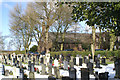


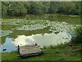
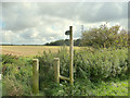
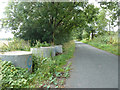
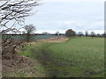
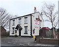
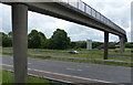
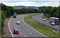
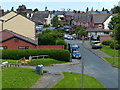
22 photos from this area
Area Information
Key information about the WN8 8BQ including its size, population, and administrative classification.
- Area Type
- Postcode
- Area Size
- 7666 m²
- Population
- 1706
- Population Density
- 646 people/km²
House Prices in WN8 8BQ
29
Properties
£155,695
Average Sold Price
£65,000
Lowest Price
£276,000
Highest Price
Showing 29 properties
| Address | Type | Beds | Baths | Last Sale Price | Last Sale Date | |
|---|---|---|---|---|---|---|
| 9 Parkside Avenue, Skelmersdale, WN8 8BQ | Flat | - | - | £120,000 | May 2025 | |
| 2 Parkside Avenue, Skelmersdale, WN8 8BQ | Detached | 4 | 2 | £276,000 | Mar 2025 | |
| 43 Parkside Avenue, Skelmersdale, WN8 8BQ | house | 3 | 2 | £215,000 | Nov 2024 | |
| 17 Parkside Avenue, Skelmersdale, WN8 8BQ | Flat | - | - | £105,000 | Jul 2023 | |
| 8 Parkside Avenue, Skelmersdale, WN8 8BQ | house | - | - | £210,000 | Dec 2022 | |
| 15 Parkside Avenue, Skelmersdale, WN8 8BQ | Flat | 2 | 1 | £104,000 | Nov 2022 | |
| 25 Parkside Avenue, Skelmersdale, WN8 8BQ | Retail | 3 | 1 | £165,000 | Apr 2022 | |
| 16 Parkside Avenue, Skelmersdale, WN8 8BQ | house | 3 | 3 | £180,000 | Mar 2022 | |
| 33 Parkside Avenue, Skelmersdale, WN8 8BQ | Detached | 4 | - | £250,000 | Dec 2021 | |
| 29 Parkside Avenue, Skelmersdale, WN8 8BQ | Terraced | 3 | 1 | £166,500 | Nov 2021 |
Page 1 of 3
Energy Efficiency in WN8 8BQ
Amenities
Schools
| Rank | School | Type | Entry gender | Ages |
|---|
Explore more schools in this area
Go to Schools tabDemographics
Household Size
Two person
most common
Accommodation Type
Houses
most common
Tenure
65
majority
Ethnic Group
White
most common
Religion
N/A
most common
Household Composition
N/A
most common
Age
47
median
Adults (30-64 years)
most common
Household Deprivation
N/A
with no deprivation
NS-SEC
24
in Lower managerial occupations
Explore more demographic insights in this area
Go to Demographics tabPlanning
Planning Constraints
- Flood RiskPremium
- Ramsar Wetland SitesPremium
- Area of Outstanding Natural BeautyPremium
- Protected Nature ReservePremium
- Protected WoodlandPremium