Area Overview for WN8 7TH
Photos of WN8 7TH
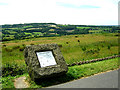
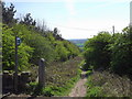
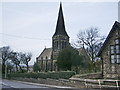
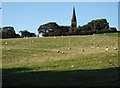
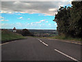
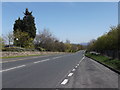
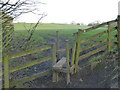
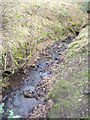
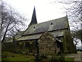
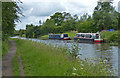
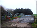
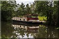
67 photos from this area
Area Information
Key information about the WN8 7TH including its size, population, and administrative classification.
- Area Type
- Postcode
- Area Size
- 54.1 hectares
- Population
- 1305
- Population Density
- 128 people/km²
House Prices in WN8 7TH
20
Properties
£380,318
Average Sold Price
£135,000
Lowest Price
£1,075,000
Highest Price
Showing 20 properties
| Address | Type | Beds | Baths | Last Sale Price | Last Sale Date | |
|---|---|---|---|---|---|---|
| 18 Wood Lane, Parbold, WN8 7TH | Semi-detached | 2 | 1 | £385,000 | Jul 2024 | |
| Gillibrands Cottage, Wood Lane, Parbold, WN8 7TH | house | - | - | £1,075,000 | Sep 2021 | |
| 28 Wood Lane, Parbold, WN8 7TH | Detached | 4 | 4 | £485,000 | Jan 2019 | |
| 26 Wood Lane, Parbold, WN8 7TH | Semi-detached | 2 | 1 | £230,000 | Apr 2017 | |
| 24 Wood Lane, Parbold, WN8 7TH | Bungalow | - | - | £299,000 | Feb 2017 | |
| 30 Wood Lane, Parbold, WN8 7TH | Detached | 3 | 2 | £386,000 | Oct 2016 | |
| 4 Wood Lane, Parbold, WN8 7TH | house | - | - | £493,500 | Nov 2015 | |
| 20 Wood Lane, Parbold, WN8 7TH | Detached | - | - | £165,000 | Feb 2001 | |
| 2 Wood Lane, Parbold, WN8 7TH | house | - | - | £245,000 | Nov 1999 | |
| 22 Wood Lane, Parbold, WN8 7TH | Detached | - | - | £135,000 | Oct 1998 |
Page 1 of 2
Energy Efficiency in WN8 7TH
Amenities
Schools
| Rank | School | Type | Entry gender | Ages |
|---|
Explore more schools in this area
Go to Schools tabDemographics
Household Size
Two person
most common
Accommodation Type
Houses
most common
Tenure
95
majority
Ethnic Group
White
most common
Religion
N/A
most common
Household Composition
N/A
most common
Age
47
median
Adults (30-64 years)
most common
Household Deprivation
N/A
with no deprivation
NS-SEC
53
in Lower managerial occupations
Explore more demographic insights in this area
Go to Demographics tabPlanning
Planning Constraints
- Flood RiskPremium
- Ramsar Wetland SitesPremium
- Area of Outstanding Natural BeautyPremium
- Protected Nature ReservePremium
- Protected WoodlandPremium