Area Overview for WN8 7SH
Photos of WN8 7SH
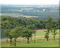
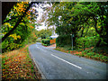
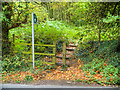
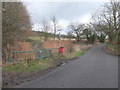
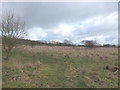
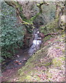
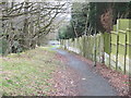
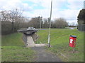
16 photos from this area
Area Information
Key information about the WN8 7SH including its size, population, and administrative classification.
- Area Type
- Postcode
- Area Size
- 1.5 hectares
- Population
- 1879
- Population Density
- 1632 people/km²
House Prices in WN8 7SH
8
Properties
£389,500
Average Sold Price
£85,000
Lowest Price
£565,000
Highest Price
Showing 8 properties
| Address | Type | Beds | Baths | Last Sale Price | Last Sale Date | |
|---|---|---|---|---|---|---|
| Beaconleigh, 257 Elmers Green Lane, Skelmersdale, WN8 7SH | house | - | - | £487,000 | Apr 2016 | |
| Blossom Hill, 255 Elmers Green Lane, Skelmersdale, WN8 7SH | house | - | - | £565,000 | Sep 2010 | |
| Beacon Cottage, 263 Elmers Green Lane, Skelmersdale, WN8 7SH | Detached | 5 | 3 | £450,000 | Feb 2006 | |
| 251 Elmers Green Lane, Skelmersdale, WN8 7SH | Land | - | - | £475,000 | Apr 2004 | |
| Tildsleys Farmhouse, Elmers Green Lane, Skelmersdale, WN8 7SH | Detached | - | - | £275,000 | Oct 2003 | |
| 253 Elmers Green Lane, Skelmersdale, WN8 7SH | Bungalow | - | - | £85,000 | Aug 2001 | |
| Annexe, Beacon Cottage, 263 Elmers Green Lane, Skelmersdale, WN8 7SH | Flat | - | - | - | - | |
| Beacon View, 249 Elmers Green Lane, Skelmersdale, WN8 7SH | Detached | - | - | - | - |
Energy Efficiency in WN8 7SH
Amenities
Schools
| Rank | School | Type | Entry gender | Ages |
|---|
Explore more schools in this area
Go to Schools tabDemographics
Household Size
Family (3-5 people)
most common
Accommodation Type
Houses
most common
Tenure
92
majority
Ethnic Group
White
most common
Religion
N/A
most common
Household Composition
N/A
most common
Age
47
median
Adults (30-64 years)
most common
Household Deprivation
N/A
with no deprivation
NS-SEC
38
in Lower managerial occupations
Explore more demographic insights in this area
Go to Demographics tabPlanning
Planning Constraints
- Flood RiskPremium
- Ramsar Wetland SitesPremium
- Area of Outstanding Natural BeautyPremium
- Protected Nature ReservePremium
- Protected WoodlandPremium