Area Overview for WN8 7HR
Photos of WN8 7HR
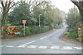
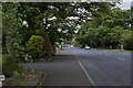
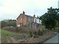
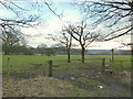
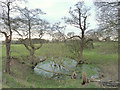
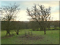
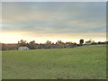
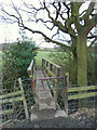
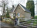
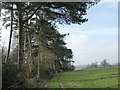
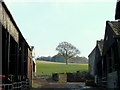
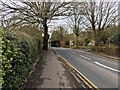
24 photos from this area
Area Information
Key information about the WN8 7HR including its size, population, and administrative classification.
- Area Type
- Postcode
- Area Size
- 8.7 hectares
- Population
- 1305
- Population Density
- 128 people/km²
House Prices in WN8 7HR
15
Properties
£721,333
Average Sold Price
£210,000
Lowest Price
£1,118,000
Highest Price
Showing 15 properties
| Address | Type | Beds | Baths | Last Sale Price | Last Sale Date | |
|---|---|---|---|---|---|---|
| Brookwood, Croasdale Drive, Parbold, WN8 7HR | house | - | - | £1,118,000 | Jul 2022 | |
| Othona, Croasdale Drive, Parbold, WN8 7HR | Detached | - | - | £1,060,000 | Jun 2022 | |
| Woodfield, Croasdale Drive, Parbold, WN8 7HR | house | - | - | £715,000 | Mar 2017 | |
| Copley, Croasdale Drive, Parbold, WN8 7HR | house | - | - | £510,000 | Oct 2015 | |
| Croasdale Corner, Croasdale Drive, Parbold, WN8 7HR | Detached | 4 | 4 | £210,000 | Nov 2010 | |
| Holly Tree House, Croasdale Drive, Parbold, WN8 7HR | Detached | - | - | £715,000 | Aug 2006 | |
| Crimond, Croasdale Drive, Parbold, WN8 7HR | Detached | 6 | - | - | - | |
| Scanholt, Croasdale Drive, Parbold, WN8 7HR | Detached | - | - | - | - | |
| Beech Hill, Croasdale Drive, Parbold, WN8 7HR | house | - | - | - | - | |
| White Gables, Croasdale Drive, Parbold, WN8 7HR | house | - | - | - | - |
Page 1 of 2
Energy Efficiency in WN8 7HR
Amenities
Schools
| Rank | School | Type | Entry gender | Ages |
|---|
Explore more schools in this area
Go to Schools tabDemographics
Household Size
Two person
most common
Accommodation Type
Houses
most common
Tenure
95
majority
Ethnic Group
White
most common
Religion
N/A
most common
Household Composition
N/A
most common
Age
47
median
Adults (30-64 years)
most common
Household Deprivation
N/A
with no deprivation
NS-SEC
53
in Lower managerial occupations
Explore more demographic insights in this area
Go to Demographics tabPlanning
Planning Constraints
- Flood RiskPremium
- Ramsar Wetland SitesPremium
- Area of Outstanding Natural BeautyPremium
- Protected Nature ReservePremium
- Protected WoodlandPremium