Area Overview for WN8 6TW
Photos of WN8 6TW
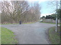
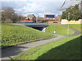
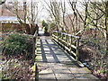
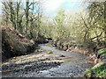
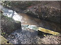
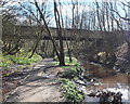
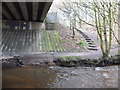
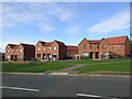
16 photos from this area
Area Information
Key information about the WN8 6TW including its size, population, and administrative classification.
- Area Type
- Postcode
- Area Size
- 8485 m²
- Population
- 1621
- Population Density
- 3322 people/km²
House Prices in WN8 6TW
34
Properties
£87,520
Average Sold Price
£22,800
Lowest Price
£165,000
Highest Price
Showing 34 properties
| Address | Type | Beds | Baths | Last Sale Price | Last Sale Date | |
|---|---|---|---|---|---|---|
| 209 Lindens, Skelmersdale, WN8 6TW | house | - | - | £165,000 | Mar 2025 | |
| 193 Lindens, Skelmersdale, WN8 6TW | house | - | - | £130,000 | Nov 2021 | |
| 147 Lindens, Skelmersdale, WN8 6TW | house | - | - | £102,000 | Aug 2021 | |
| 155 Lindens, Skelmersdale, WN8 6TW | house | - | - | £130,000 | Aug 2021 | |
| 207 Lindens, Skelmersdale, WN8 6TW | Terraced | 4 | 1 | £125,000 | Nov 2019 | |
| 175 Lindens, Skelmersdale, WN8 6TW | Terraced | 3 | 1 | £90,000 | Sep 2018 | |
| 163 Lindens, Skelmersdale, WN8 6TW | Terraced | 3 | 1 | £90,000 | Aug 2018 | |
| 143 Lindens, Skelmersdale, WN8 6TW | house | 3 | - | £94,500 | Mar 2018 | |
| 171 Lindens, Skelmersdale, WN8 6TW | house | - | - | £90,000 | Apr 2016 | |
| 189 Lindens, Skelmersdale, WN8 6TW | house | 3 | - | £91,000 | Sep 2010 |
Page 1 of 4
Energy Efficiency in WN8 6TW
Amenities
Schools
| Rank | School | Type | Entry gender | Ages |
|---|
Explore more schools in this area
Go to Schools tabDemographics
Household Size
One person
most common
Accommodation Type
Houses
most common
Tenure
55
majority
Ethnic Group
White
most common
Religion
N/A
most common
Household Composition
N/A
most common
Age
47
median
Adults (30-64 years)
most common
Household Deprivation
N/A
with no deprivation
NS-SEC
25
in Lower managerial occupations
Explore more demographic insights in this area
Go to Demographics tabPlanning
Planning Constraints
- Flood RiskPremium
- Ramsar Wetland SitesPremium
- Area of Outstanding Natural BeautyPremium
- Protected Nature ReservePremium
- Protected WoodlandPremium