Area Overview for WN7 5JW
Photos of WN7 5JW
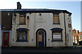
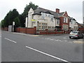
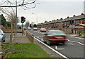
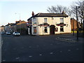
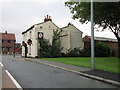
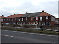
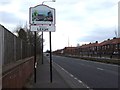
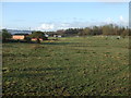
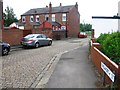
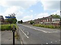
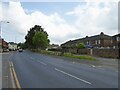
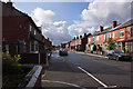
14 photos from this area
Area Information
Key information about the WN7 5JW including its size, population, and administrative classification.
- Area Type
- Postcode
- Area Size
- 6808 m²
- Population
- 1584
- Population Density
- 2071 people/km²
House Prices in WN7 5JW
9
Properties
£50,800
Average Sold Price
£14,000
Lowest Price
£70,000
Highest Price
Showing 9 properties
| Address | Type | Beds | Baths | Last Sale Price | Last Sale Date | |
|---|---|---|---|---|---|---|
| 9 Phillips Street, Leigh, WN7 5JW | Terraced | 2 | 1 | £65,000 | Mar 2025 | |
| 11 Phillips Street, Leigh, WN7 5JW | house | 3 | 1 | £70,000 | Nov 2020 | |
| 17 Phillips Street, Leigh, WN7 5JW | Terraced | 2 | 1 | £61,000 | Mar 2017 | |
| 7 Phillips Street, Leigh, WN7 5JW | Terraced | 2 | 1 | £44,000 | Dec 2014 | |
| 19 Phillips Street, Leigh, WN7 5JW | Semi-detached | - | - | £14,000 | Oct 1999 | |
| Caravan Adjacent To, 5 Phillips Street, Leigh, WN7 5JW | Mobile Home | - | - | - | - | |
| 15 Phillips Street, Leigh, WN7 5JW | Semi-detached | - | - | - | - | |
| 5 Phillips Street, Leigh, WN7 5JW | Terraced | 3 | 1 | - | - | |
| 13 Phillips Street, Leigh, WN7 5JW | Semi-detached | - | - | - | - |
Energy Efficiency in WN7 5JW
Amenities
Schools
| Rank | School | Type | Entry gender | Ages |
|---|
Explore more schools in this area
Go to Schools tabDemographics
Household Size
One person
most common
Accommodation Type
Houses
most common
Tenure
50
majority
Ethnic Group
White
most common
Religion
N/A
most common
Household Composition
N/A
most common
Age
47
median
Adults (30-64 years)
most common
Household Deprivation
N/A
with no deprivation
NS-SEC
19
in Lower managerial occupations
Explore more demographic insights in this area
Go to Demographics tabPlanning
Planning Constraints
- Flood RiskPremium
- Ramsar Wetland SitesPremium
- Area of Outstanding Natural BeautyPremium
- Protected Nature ReservePremium
- Protected WoodlandPremium