Area Overview for WN7 2EN
Photos of WN7 2EN
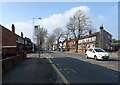
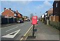
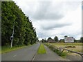
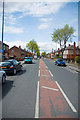
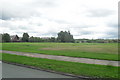
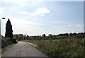
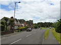
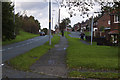
17 photos from this area
Area Information
Key information about the WN7 2EN including its size, population, and administrative classification.
- Area Type
- Postcode
- Area Size
- 1.4 hectares
- Population
- 2280
- Population Density
- 2067 people/km²
House Prices in WN7 2EN
35
Properties
£187,366
Average Sold Price
£117,995
Lowest Price
£289,950
Highest Price
Showing 35 properties
| Address | Type | Beds | Baths | Last Sale Price | Last Sale Date | |
|---|---|---|---|---|---|---|
| 117 Fairclough Park Drive, Leigh, WN7 2EN | Detached | 3 | 1 | £284,000 | Mar 2025 | |
| 129 Fairclough Park Drive, Leigh, WN7 2EN | house | - | - | £240,000 | Jan 2022 | |
| 107 Fairclough Park Drive, Leigh, WN7 2EN | Semi-detached | 3 | 3 | £209,995 | Sep 2021 | |
| 109 Fairclough Park Drive, Leigh, WN7 2EN | Terraced | 2 | 2 | £210,000 | Sep 2021 | |
| 131 Fairclough Park Drive, Leigh, WN7 2EN | Detached | 5 | 2 | £289,950 | May 2021 | |
| 137 Fairclough Park Drive, Leigh, WN7 2EN | house | - | - | £285,000 | Nov 2020 | |
| 93 Fairclough Park Drive, Leigh, WN7 2EN | Semi-detached | 3 | 2 | £158,000 | Aug 2020 | |
| 1 Fairclough Park Drive, Leigh, WN7 2EN | house | - | - | £157,995 | Jun 2019 | |
| 3 Fairclough Park Drive, Leigh, WN7 2EN | house | - | - | £160,995 | Jun 2019 | |
| 7 Fairclough Park Drive, Leigh, WN7 2EN | house | - | - | £183,995 | Apr 2019 |
Page 1 of 4
Energy Efficiency in WN7 2EN
Amenities
Schools
| Rank | School | Type | Entry gender | Ages |
|---|
Explore more schools in this area
Go to Schools tabDemographics
Household Size
One person
most common
Accommodation Type
Houses
most common
Tenure
45
majority
Ethnic Group
White
most common
Religion
N/A
most common
Household Composition
N/A
most common
Age
47
median
Adults (30-64 years)
most common
Household Deprivation
N/A
with no deprivation
NS-SEC
21
in Lower managerial occupations
Explore more demographic insights in this area
Go to Demographics tabPlanning
Planning Constraints
- Flood RiskPremium
- Ramsar Wetland SitesPremium
- Area of Outstanding Natural BeautyPremium
- Protected Nature ReservePremium
- Protected WoodlandPremium