Area Overview for WN7 2AH
Photos of WN7 2AH
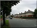
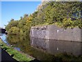
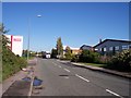
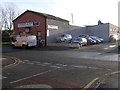
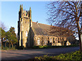
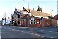
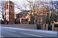
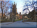
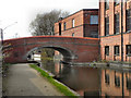
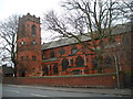
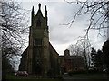
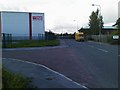
67 photos from this area
Area Information
Key information about the WN7 2AH including its size, population, and administrative classification.
- Area Type
- Postcode
- Area Size
- 2.1 hectares
- Population
- 2014
- Population Density
- 4879 people/km²
House Prices in WN7 2AH
70
Properties
£154,717
Average Sold Price
£4,000
Lowest Price
£3,787,445
Highest Price
Showing 70 properties
| Address | Type | Beds | Baths | Last Sale Price | Last Sale Date | |
|---|---|---|---|---|---|---|
| 45 Battersby Street, Leigh, WN7 2AH | Terraced | 2 | 1 | £110,000 | Oct 2025 | |
| 2 Battersby Street, Leigh, WN7 2AH | Terraced | 3 | 1 | £133,000 | Apr 2025 | |
| 23 Battersby Street, Leigh, WN7 2AH | Terraced | 2 | 1 | £129,950 | Jan 2025 | |
| 40 Battersby Street, Leigh, WN7 2AH | house | 2 | 1 | £126,500 | Dec 2024 | |
| 51 Battersby Street, Leigh, WN7 2AH | Terraced | 2 | 1 | £118,000 | Oct 2024 | |
| 14 Battersby Street, Leigh, WN7 2AH | Terraced | 2 | 1 | £90,000 | Jul 2023 | |
| 41 Battersby Street, Leigh, WN7 2AH | Terraced | 2 | 1 | £96,950 | May 2023 | |
| 52 Battersby Street, Leigh, WN7 2AH | Retail | 2 | 1 | £112,000 | Aug 2022 | |
| 60 Battersby Street, Leigh, WN7 2AH | Terraced | 2 | 1 | £116,500 | Apr 2022 | |
| 39 Battersby Street, Leigh, WN7 2AH | Terraced | 2 | 1 | £113,000 | Nov 2021 |
Page 1 of 7
Energy Efficiency in WN7 2AH
Amenities
Schools
| Rank | School | Type | Entry gender | Ages |
|---|
Explore more schools in this area
Go to Schools tabDemographics
Household Size
One person
most common
Accommodation Type
Houses
most common
Tenure
64
majority
Ethnic Group
White
most common
Religion
N/A
most common
Household Composition
N/A
most common
Age
47
median
Adults (30-64 years)
most common
Household Deprivation
N/A
with no deprivation
NS-SEC
31
in Lower managerial occupations
Explore more demographic insights in this area
Go to Demographics tabPlanning
Planning Constraints
- Flood RiskPremium
- Ramsar Wetland SitesPremium
- Area of Outstanding Natural BeautyPremium
- Protected Nature ReservePremium
- Protected WoodlandPremium