Area Overview for WN7 1EN
Photos of WN7 1EN
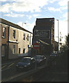
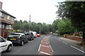
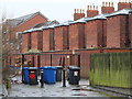
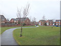
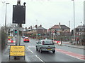
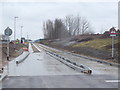
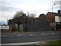
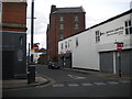
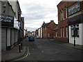
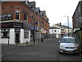
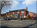
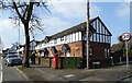
21 photos from this area
Area Information
Key information about the WN7 1EN including its size, population, and administrative classification.
- Area Type
- Postcode
- Area Size
- 1.3 hectares
- Population
- 1538
- Population Density
- 4189 people/km²
House Prices in WN7 1EN
60
Properties
£144,581
Average Sold Price
£79,950
Lowest Price
£332,000
Highest Price
Showing 60 properties
| Address | Type | Beds | Baths | Last Sale Price | Last Sale Date | |
|---|---|---|---|---|---|---|
| 11 Redfield Croft, Leigh, WN7 1EN | Detached | 4 | 2 | £332,000 | Mar 2025 | |
| 66 Redfield Croft, Leigh, WN7 1EN | Flat | - | - | £120,000 | Oct 2024 | |
| 10 Redfield Croft, Leigh, WN7 1EN | Flat | 2 | - | £126,000 | Jul 2023 | |
| 45 Redfield Croft, Leigh, WN7 1EN | Flat | - | - | £124,500 | Dec 2022 | |
| 28 Redfield Croft, Leigh, WN7 1EN | Retail | 2 | 1 | £180,000 | Sep 2022 | |
| 50 Redfield Croft, Leigh, WN7 1EN | Flat | - | - | £130,050 | Aug 2022 | |
| 24 Redfield Croft, Leigh, WN7 1EN | Detached | 3 | 2 | £265,000 | Aug 2022 | |
| 4 Redfield Croft, Leigh, WN7 1EN | Flat | 2 | 1 | £120,000 | Jun 2022 | |
| 54 Redfield Croft, Leigh, WN7 1EN | Flat | - | - | £125,000 | Jun 2022 | |
| 14 Redfield Croft, Leigh, WN7 1EN | Flat | - | - | £115,000 | Feb 2022 |
Page 1 of 6
Energy Efficiency in WN7 1EN
Amenities
Schools
| Rank | School | Type | Entry gender | Ages |
|---|
Explore more schools in this area
Go to Schools tabDemographics
Household Size
Two person
most common
Accommodation Type
Houses
most common
Tenure
89
majority
Ethnic Group
White
most common
Religion
N/A
most common
Household Composition
N/A
most common
Age
47
median
Adults (30-64 years)
most common
Household Deprivation
N/A
with no deprivation
NS-SEC
36
in Lower managerial occupations
Explore more demographic insights in this area
Go to Demographics tabPlanning
Planning Constraints
- Flood RiskPremium
- Ramsar Wetland SitesPremium
- Area of Outstanding Natural BeautyPremium
- Protected Nature ReservePremium
- Protected WoodlandPremium