Area Overview for WN6 9PL
Photos of WN6 9PL
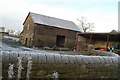
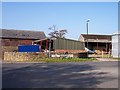
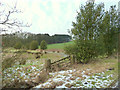
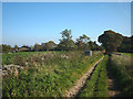
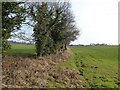
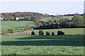
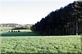
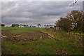
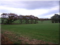
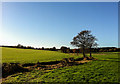
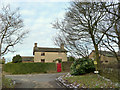
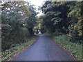
18 photos from this area
Area Information
Key information about the WN6 9PL including its size, population, and administrative classification.
- Area Type
- Postcode
- Area Size
- 65.5 hectares
- Population
- 1488
- Population Density
- 139 people/km²
House Prices in WN6 9PL
21
Properties
£182,938
Average Sold Price
£43,000
Lowest Price
£376,000
Highest Price
Showing 21 properties
| Address | Type | Beds | Baths | Last Sale Price | Last Sale Date | |
|---|---|---|---|---|---|---|
| 5 Toogood Lane, Wrightington, WN6 9PL | house | 3 | 1 | £376,000 | Jul 2022 | |
| 8 Toogood Lane, Wrightington, WN6 9PL | house | - | - | £144,500 | Mar 2020 | |
| 16 Toogood Lane, Wrightington, WN6 9PL | Terraced | 2 | 1 | £180,000 | May 2017 | |
| 14 Toogood Lane, Wrightington, WN6 9PL | Semi-detached | 3 | 2 | £235,000 | Aug 2014 | |
| 20 Toogood Lane, Wrightington, WN6 9PL | house | - | - | £125,000 | Jun 2008 | |
| 6 Toogood Lane, Wrightington, WN6 9PL | Terraced | - | - | £250,000 | Nov 2006 | |
| 38 Toogood Lane, Wrightington, WN6 9PL | Semi-detached | - | - | £110,000 | Jul 2002 | |
| 10 Toogood Lane, Wrightington, WN6 9PL | house | - | - | £43,000 | Feb 2001 | |
| Stoney Leach Nurseries, Tunley Lane, Wrightington, WN6 9PL | Farm | - | - | - | - | |
| Stoneleach Forge, Toogood Lane, Wrightington, WN6 9PL | Detached | - | - | - | - |
Page 1 of 3
Energy Efficiency in WN6 9PL
Amenities
Schools
| Rank | School | Type | Entry gender | Ages |
|---|
Explore more schools in this area
Go to Schools tabDemographics
Household Size
Two person
most common
Accommodation Type
Houses
most common
Tenure
86
majority
Ethnic Group
White
most common
Religion
N/A
most common
Household Composition
N/A
most common
Age
47
median
Adults (30-64 years)
most common
Household Deprivation
N/A
with no deprivation
NS-SEC
45
in Lower managerial occupations
Explore more demographic insights in this area
Go to Demographics tabPlanning
Planning Constraints
- Flood RiskPremium
- Ramsar Wetland SitesPremium
- Area of Outstanding Natural BeautyPremium
- Protected Nature ReservePremium
- Protected WoodlandPremium