Area Overview for WN6 9JT
Photos of WN6 9JT
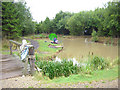
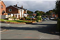
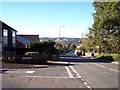
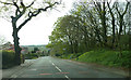
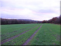
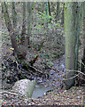
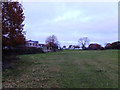
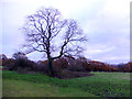
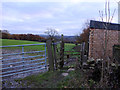
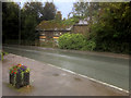
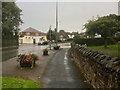
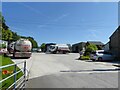
18 photos from this area
Area Information
Key information about the WN6 9JT including its size, population, and administrative classification.
- Area Type
- Postcode
- Area Size
- 3820 m²
- Population
- 1601
- Population Density
- 3709 people/km²
House Prices in WN6 9JT
10
Properties
£170,408
Average Sold Price
£57,500
Lowest Price
£260,000
Highest Price
Showing 10 properties
| Address | Type | Beds | Baths | Last Sale Price | Last Sale Date | |
|---|---|---|---|---|---|---|
| 99 Woodnook Road, Appley Bridge, WN6 9JT | Bungalow | 2 | 1 | £230,000 | Dec 2024 | |
| 89 Woodnook Road, Appley Bridge, WN6 9JT | Detached | 4 | 3 | £260,000 | Jan 2021 | |
| 105 Woodnook Road, Appley Bridge, WN6 9JT | Semi-detached | 3 | 1 | £170,000 | Sep 2015 | |
| 93 Woodnook Road, Appley Bridge, WN6 9JT | house | - | - | £165,000 | Oct 2014 | |
| 97 Woodnook Road, Appley Bridge, WN6 9JT | Semi-detached | - | - | £139,950 | Jan 2009 | |
| 91 Woodnook Road, Appley Bridge, WN6 9JT | Detached | 3 | 1 | £57,500 | Oct 1996 | |
| 95 Woodnook Road, Appley Bridge, WN6 9JT | Semi-detached | - | - | - | - | |
| 107 Woodnook Road, Appley Bridge, WN6 9JT | Semi-detached | - | - | - | - | |
| 101 Woodnook Road, Appley Bridge, WN6 9JT | Semi-detached | - | - | - | - | |
| 103 Woodnook Road, Appley Bridge, WN6 9JT | Semi-detached | - | - | - | - |
Energy Efficiency in WN6 9JT
Amenities
Schools
| Rank | School | Type | Entry gender | Ages |
|---|
Explore more schools in this area
Go to Schools tabDemographics
Household Size
Two person
most common
Accommodation Type
Houses
most common
Tenure
91
majority
Ethnic Group
White
most common
Religion
N/A
most common
Household Composition
N/A
most common
Age
47
median
Adults (30-64 years)
most common
Household Deprivation
N/A
with no deprivation
NS-SEC
44
in Lower managerial occupations
Explore more demographic insights in this area
Go to Demographics tabPlanning
Planning Constraints
- Flood RiskPremium
- Ramsar Wetland SitesPremium
- Area of Outstanding Natural BeautyPremium
- Protected Nature ReservePremium
- Protected WoodlandPremium