Area Overview for WN6 8QE
Photos of WN6 8QE
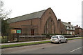
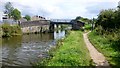
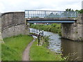
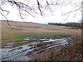
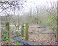
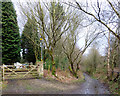
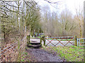
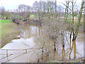
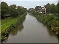
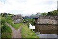
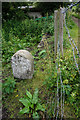
25 photos from this area
Area Information
Key information about the WN6 8QE including its size, population, and administrative classification.
- Area Type
- Postcode
- Area Size
- 6797 m²
- Population
- 1523
- Population Density
- 4460 people/km²
House Prices in WN6 8QE
18
Properties
£135,312
Average Sold Price
£49,500
Lowest Price
£171,000
Highest Price
Showing 18 properties
| Address | Type | Beds | Baths | Last Sale Price | Last Sale Date | |
|---|---|---|---|---|---|---|
| 3 Seddon House Drive, Wigan, WN6 8QE | Semi-detached | 2 | 1 | £171,000 | Sep 2024 | |
| 16 Seddon House Drive, Wigan, WN6 8QE | Semi-detached | 2 | 1 | £162,000 | Jul 2021 | |
| 11 Seddon House Drive, Wigan, WN6 8QE | Semi-detached | 3 | 1 | £170,000 | Dec 2020 | |
| 9 Seddon House Drive, Wigan, WN6 8QE | Bungalow | - | - | £155,000 | Dec 2020 | |
| 7 Seddon House Drive, Wigan, WN6 8QE | Bungalow | 3 | 1 | £120,000 | Aug 2017 | |
| 13 Seddon House Drive, Wigan, WN6 8QE | Semi-detached | - | - | £110,000 | Dec 2014 | |
| 12 Seddon House Drive, Wigan, WN6 8QE | Semi-detached | - | - | £144,995 | Apr 2008 | |
| 10 Seddon House Drive, Wigan, WN6 8QE | Semi-detached | - | - | £49,500 | Jun 1996 | |
| 8 Seddon House Drive, Wigan, WN6 8QE | Semi-detached | - | - | - | - | |
| 18 Seddon House Drive, Wigan, WN6 8QE | Semi-detached | - | - | - | - |
Page 1 of 2
Energy Efficiency in WN6 8QE
Amenities
Schools
| Rank | School | Type | Entry gender | Ages |
|---|
Explore more schools in this area
Go to Schools tabDemographics
Household Size
Two person
most common
Accommodation Type
Houses
most common
Tenure
58
majority
Ethnic Group
White
most common
Religion
N/A
most common
Household Composition
N/A
most common
Age
47
median
Adults (30-64 years)
most common
Household Deprivation
N/A
with no deprivation
NS-SEC
20
in Lower managerial occupations
Explore more demographic insights in this area
Go to Demographics tabPlanning
Planning Constraints
- Flood RiskPremium
- Ramsar Wetland SitesPremium
- Area of Outstanding Natural BeautyPremium
- Protected Nature ReservePremium
- Protected WoodlandPremium