Area Overview for WN6 0ZU
Photos of WN6 0ZU

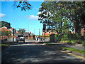
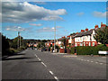
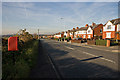
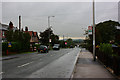
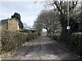
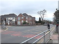
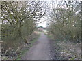
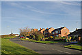
21 photos from this area
Area Information
Key information about the WN6 0ZU including its size, population, and administrative classification.
- Area Type
- Postcode
- Area Size
- 4.3 hectares
- Population
- 1503
- Population Density
- 587 people/km²
House Prices in WN6 0ZU
69
Properties
£269,475
Average Sold Price
£43,750
Lowest Price
£418,000
Highest Price
Showing 69 properties
| Address | Type | Beds | Baths | Last Sale Price | Last Sale Date | |
|---|---|---|---|---|---|---|
| 53 Buttercup Meadow, Standish, WN6 0ZU | Detached | 3 | 2 | £300,000 | Oct 2025 | |
| 1 Buttercup Meadow, Standish, WN6 0ZU | Detached | 3 | 2 | £296,000 | Sep 2025 | |
| 27 Buttercup Meadow, Standish, WN6 0ZU | Detached | 3 | 2 | £295,000 | Jan 2025 | |
| 61 Buttercup Meadow, Standish, WN6 0ZU | Semi-detached | 3 | 2 | £245,000 | Mar 2024 | |
| 62 Buttercup Meadow, Standish, WN6 0ZU | Terraced | 2 | 1 | £197,000 | Oct 2023 | |
| 25 Buttercup Meadow, Standish, WN6 0ZU | Semi-detached | 2 | 2 | £330,000 | Jun 2023 | |
| 37 Buttercup Meadow, Standish, WN6 0ZU | Detached | 4 | 2 | £418,000 | Jan 2023 | |
| 51 Buttercup Meadow, Standish, WN6 0ZU | Detached | 4 | 2 | £385,000 | Sep 2022 | |
| 15 Buttercup Meadow, Standish, WN6 0ZU | Terraced | 2 | 1 | £43,750 | Jul 2022 | |
| 72 Buttercup Meadow, Standish, WN6 0ZU | Retail | 4 | 2 | £350,000 | May 2022 |
Page 1 of 7
Energy Efficiency in WN6 0ZU
Amenities
Schools
| Rank | School | Type | Entry gender | Ages |
|---|
Explore more schools in this area
Go to Schools tabDemographics
Household Size
Two person
most common
Accommodation Type
Houses
most common
Tenure
90
majority
Ethnic Group
White
most common
Religion
N/A
most common
Household Composition
N/A
most common
Age
47
median
Adults (30-64 years)
most common
Household Deprivation
N/A
with no deprivation
NS-SEC
42
in Lower managerial occupations
Explore more demographic insights in this area
Go to Demographics tabPlanning
Planning Constraints
- Flood RiskPremium
- Ramsar Wetland SitesPremium
- Area of Outstanding Natural BeautyPremium
- Protected Nature ReservePremium
- Protected WoodlandPremium