Area Overview for WN6 0YY
Photos of WN6 0YY
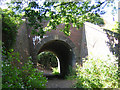
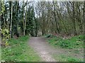
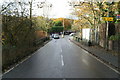
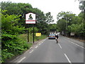
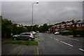
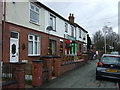
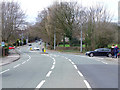
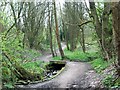
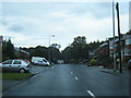
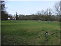
32 photos from this area
Area Information
Key information about the WN6 0YY including its size, population, and administrative classification.
- Area Type
- Postcode
- Area Size
- 1.8 hectares
- Population
- 2122
- Population Density
- 2087 people/km²
House Prices in WN6 0YY
40
Properties
£241,497
Average Sold Price
£167,995
Lowest Price
£475,995
Highest Price
Showing 40 properties
| Address | Type | Beds | Baths | Last Sale Price | Last Sale Date | |
|---|---|---|---|---|---|---|
| 67 Vardon Drive, Standish, WN6 0YY | Terraced | 3 | 1 | £190,000 | Apr 2025 | |
| 39 Vardon Drive, Standish, WN6 0YY | Detached | 4 | 2 | £335,000 | Mar 2025 | |
| 49 Vardon Drive, Standish, WN6 0YY | Terraced | 3 | 2 | £202,000 | Dec 2024 | |
| 27 Vardon Drive, Standish, WN6 0YY | Terraced | 2 | 1 | £199,750 | Apr 2023 | |
| 25 Vardon Drive, Standish, WN6 0YY | house | - | - | £199,750 | Apr 2023 | |
| 23 Vardon Drive, Standish, WN6 0YY | house | - | - | £199,750 | Mar 2023 | |
| 19 Vardon Drive, Standish, WN6 0YY | house | - | - | £199,750 | Mar 2023 | |
| 17 Vardon Drive, Standish, WN6 0YY | house | - | - | £199,750 | Jan 2023 | |
| 29 Vardon Drive, Standish, WN6 0YY | house | 3 | 2 | £199,750 | Jan 2023 | |
| 21 Vardon Drive, Standish, WN6 0YY | house | - | - | £194,750 | Jan 2023 |
Page 1 of 4
Energy Efficiency in WN6 0YY
Amenities
Schools
| Rank | School | Type | Entry gender | Ages |
|---|
Explore more schools in this area
Go to Schools tabDemographics
Household Size
Two person
most common
Accommodation Type
Houses
most common
Tenure
88
majority
Ethnic Group
White
most common
Religion
N/A
most common
Household Composition
N/A
most common
Age
47
median
Adults (30-64 years)
most common
Household Deprivation
N/A
with no deprivation
NS-SEC
49
in Lower managerial occupations
Explore more demographic insights in this area
Go to Demographics tabPlanning
Planning Constraints
- Flood RiskPremium
- Ramsar Wetland SitesPremium
- Area of Outstanding Natural BeautyPremium
- Protected Nature ReservePremium
- Protected WoodlandPremium