Area Overview for WN6 0EG
Photos of WN6 0EG

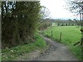
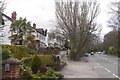
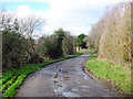
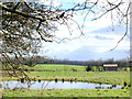
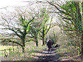
24 photos from this area
Area Information
Key information about the WN6 0EG including its size, population, and administrative classification.
- Area Type
- Postcode
- Area Size
- 2.6 hectares
- Population
- 2122
- Population Density
- 2087 people/km²
House Prices in WN6 0EG
46
Properties
£206,181
Average Sold Price
£77,000
Lowest Price
£620,000
Highest Price
Showing 46 properties
| Address | Type | Beds | Baths | Last Sale Price | Last Sale Date | |
|---|---|---|---|---|---|---|
| 66 Ashfield Park Drive, Standish, WN6 0EG | Semi-detached | 3 | 1 | £240,000 | Dec 2024 | |
| 22 Ashfield Park Drive, Standish, WN6 0EG | Semi-detached | 3 | 2 | £196,500 | Apr 2023 | |
| 19 Ashfield Park Drive, Standish, WN6 0EG | Semi-detached | 2 | 1 | £203,000 | Jan 2023 | |
| 9 Ashfield Park Drive, Standish, WN6 0EG | Semi-detached | 2 | 1 | £165,000 | Nov 2022 | |
| 15 Ashfield Park Drive, Standish, WN6 0EG | house | - | - | £120,000 | Sep 2021 | |
| 13 Ashfield Park Drive, Standish, WN6 0EG | Semi-detached | 2 | 1 | £153,500 | Jun 2021 | |
| 28 Ashfield Park Drive, Standish, WN6 0EG | Flat | 2 | 1 | £96,500 | Jan 2021 | |
| 54 Ashfield Park Drive, Standish, WN6 0EG | Detached | 5 | 2 | £620,000 | Sep 2020 | |
| 29 Ashfield Park Drive, Standish, WN6 0EG | Bungalow | 2 | 1 | £240,000 | Oct 2019 | |
| 46 Ashfield Park Drive, Standish, WN6 0EG | Semi-detached | 3 | 1 | £158,850 | Oct 2017 |
Page 1 of 5
Energy Efficiency in WN6 0EG
Amenities
Schools
| Rank | School | Type | Entry gender | Ages |
|---|
Explore more schools in this area
Go to Schools tabDemographics
Household Size
Two person
most common
Accommodation Type
Houses
most common
Tenure
88
majority
Ethnic Group
White
most common
Religion
N/A
most common
Household Composition
N/A
most common
Age
47
median
Adults (30-64 years)
most common
Household Deprivation
N/A
with no deprivation
NS-SEC
49
in Lower managerial occupations
Explore more demographic insights in this area
Go to Demographics tabPlanning
Planning Constraints
- Flood RiskPremium
- Ramsar Wetland SitesPremium
- Area of Outstanding Natural BeautyPremium
- Protected Nature ReservePremium
- Protected WoodlandPremium