Area Overview for WN6 0DZ
Photos of WN6 0DZ
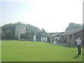
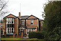
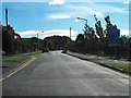
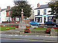
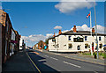
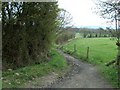
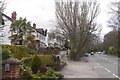
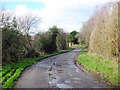
24 photos from this area
Area Information
Key information about the WN6 0DZ including its size, population, and administrative classification.
- Area Type
- Postcode
- Area Size
- 1.1 hectares
- Population
- 2122
- Population Density
- 2087 people/km²
House Prices in WN6 0DZ
29
Properties
£140,603
Average Sold Price
£50,000
Lowest Price
£245,000
Highest Price
Showing 29 properties
| Address | Type | Beds | Baths | Last Sale Price | Last Sale Date | |
|---|---|---|---|---|---|---|
| 5 Ash Grove, Standish, WN6 0DZ | Bungalow | 3 | 1 | £155,000 | Nov 2023 | |
| 2 Ash Grove, Standish, WN6 0DZ | Retail | 2 | 1 | £245,000 | Sep 2023 | |
| 10 Ash Grove, Standish, WN6 0DZ | Semi-detached | 2 | 1 | £177,500 | Aug 2023 | |
| 8 Ash Grove, Standish, WN6 0DZ | Bungalow | - | - | £138,000 | May 2023 | |
| 6 Ash Grove, Standish, WN6 0DZ | Bungalow | - | - | £146,000 | Dec 2021 | |
| 7 Ash Grove, Standish, WN6 0DZ | Detached | 2 | 1 | £150,000 | Aug 2021 | |
| 19 Ash Grove, Standish, WN6 0DZ | Semi-detached | 3 | 1 | £165,000 | Nov 2019 | |
| 13 Ash Grove, Standish, WN6 0DZ | Bungalow | - | - | £175,000 | Jul 2019 | |
| 1 Ash Grove, Standish, WN6 0DZ | Semi-detached | 3 | 1 | £170,000 | Dec 2017 | |
| 30 Ash Grove, Standish, WN6 0DZ | Semi-detached | 3 | - | £118,500 | Sep 2014 |
Page 1 of 3
Energy Efficiency in WN6 0DZ
Amenities
Schools
| Rank | School | Type | Entry gender | Ages |
|---|
Explore more schools in this area
Go to Schools tabDemographics
Household Size
Two person
most common
Accommodation Type
Houses
most common
Tenure
88
majority
Ethnic Group
White
most common
Religion
N/A
most common
Household Composition
N/A
most common
Age
47
median
Adults (30-64 years)
most common
Household Deprivation
N/A
with no deprivation
NS-SEC
49
in Lower managerial occupations
Explore more demographic insights in this area
Go to Demographics tabPlanning
Planning Constraints
- Flood RiskPremium
- Ramsar Wetland SitesPremium
- Area of Outstanding Natural BeautyPremium
- Protected Nature ReservePremium
- Protected WoodlandPremium