Area Overview for WN6 0AD
Photos of WN6 0AD
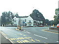
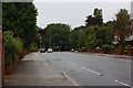

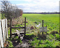

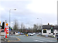
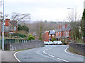
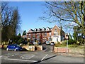
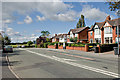

39 photos from this area
Area Information
Key information about the WN6 0AD including its size, population, and administrative classification.
- Area Type
- Postcode
- Area Size
- 50.3 hectares
- Population
- 1379
- Population Density
- 530 people/km²
House Prices in WN6 0AD
38
Properties
£235,645
Average Sold Price
£86,000
Lowest Price
£525,000
Highest Price
Showing 38 properties
| Address | Type | Beds | Baths | Last Sale Price | Last Sale Date | |
|---|---|---|---|---|---|---|
| 278 Wigan Road, Standish, WN6 0AD | Detached | 5 | 2 | £525,000 | May 2025 | |
| 324 Wigan Road, Standish, WN6 0AD | house | - | - | £255,000 | May 2021 | |
| 322 Wigan Road, Standish, WN6 0AD | house | - | - | £215,000 | Aug 2020 | |
| 268 Wigan Road, Standish, WN6 0AD | Semi-detached | 4 | 2 | £295,050 | May 2019 | |
| 290 Wigan Road, Standish, WN6 0AD | Detached | 3 | - | £312,500 | Aug 2017 | |
| 288 Wigan Road, Standish, WN6 0AD | Detached | 4 | - | £304,000 | Jan 2017 | |
| 256 Wigan Road, Standish, WN6 0AD | Semi-detached | 4 | - | £265,000 | Mar 2013 | |
| 314 Wigan Road, Standish, WN6 0AD | house | - | - | £347,000 | Feb 2013 | |
| 266 Wigan Road, Standish, WN6 0AD | house | - | - | £212,500 | Sep 2012 | |
| 262 Wigan Road, Standish, WN6 0AD | house | - | - | £315,000 | Aug 2010 |
Page 1 of 4
Energy Efficiency in WN6 0AD
Amenities
Schools
| Rank | School | Type | Entry gender | Ages |
|---|
Explore more schools in this area
Go to Schools tabDemographics
Household Size
Two person
most common
Accommodation Type
Houses
most common
Tenure
82
majority
Ethnic Group
White
most common
Religion
N/A
most common
Household Composition
N/A
most common
Age
47
median
Adults (30-64 years)
most common
Household Deprivation
N/A
with no deprivation
NS-SEC
41
in Lower managerial occupations
Explore more demographic insights in this area
Go to Demographics tabPlanning
Planning Constraints
- Flood RiskPremium
- Ramsar Wetland SitesPremium
- Area of Outstanding Natural BeautyPremium
- Protected Nature ReservePremium
- Protected WoodlandPremium