Area Overview for WN5 9BN
Photos of WN5 9BN
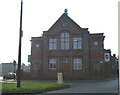
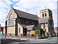
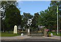
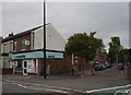
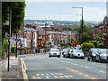
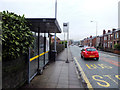
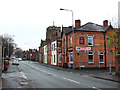
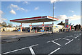
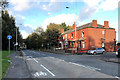
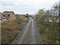
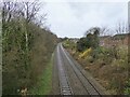
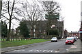
32 photos from this area
Area Information
Key information about the WN5 9BN including its size, population, and administrative classification.
- Area Type
- Postcode
- Area Size
- 2288 m²
- Population
- 2034
- Population Density
- 3613 people/km²
House Prices in WN5 9BN
15
Properties
£79,000
Average Sold Price
£41,500
Lowest Price
£150,000
Highest Price
Showing 15 properties
| Address | Type | Beds | Baths | Last Sale Price | Last Sale Date | |
|---|---|---|---|---|---|---|
| 107 Victoria Street, Wigan, WN5 9BN | house | - | - | £150,000 | Jun 2024 | |
| 127 Victoria Street, Wigan, WN5 9BN | house | 3 | - | £107,000 | Apr 2017 | |
| 123 Victoria Street, Wigan, WN5 9BN | Terraced | 3 | - | £115,000 | Dec 2013 | |
| 113 Victoria Street, Wigan, WN5 9BN | house | 3 | 1 | £79,000 | Feb 2013 | |
| 119 Victoria Street, Wigan, WN5 9BN | Semi-detached | - | - | £70,000 | Jan 2013 | |
| 117 Victoria Street, Wigan, WN5 9BN | house | - | - | £70,000 | Dec 2011 | |
| 121 Victoria Street, Wigan, WN5 9BN | Terraced | 3 | 1 | £50,000 | Sep 2007 | |
| 115 Victoria Street, Wigan, WN5 9BN | house | - | - | £75,000 | Jul 2005 | |
| 109 Victoria Street, Wigan, WN5 9BN | house | - | - | £84,500 | Jul 2004 | |
| 101 Victoria Street, Wigan, WN5 9BN | house | - | - | £60,000 | Nov 2003 |
Page 1 of 2
Energy Efficiency in WN5 9BN
Amenities
Schools
| Rank | School | Type | Entry gender | Ages |
|---|
Explore more schools in this area
Go to Schools tabDemographics
Household Size
Two person
most common
Accommodation Type
Houses
most common
Tenure
58
majority
Ethnic Group
White
most common
Religion
N/A
most common
Household Composition
N/A
most common
Age
47
median
Adults (30-64 years)
most common
Household Deprivation
N/A
with no deprivation
NS-SEC
22
in Lower managerial occupations
Explore more demographic insights in this area
Go to Demographics tabPlanning
Planning Constraints
- Flood RiskPremium
- Ramsar Wetland SitesPremium
- Area of Outstanding Natural BeautyPremium
- Protected Nature ReservePremium
- Protected WoodlandPremium