Area Overview for WN5 7PA
Photos of WN5 7PA
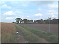
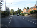
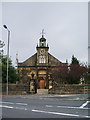
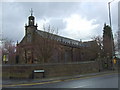
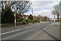
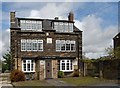
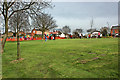
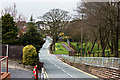
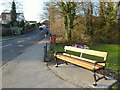
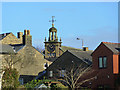
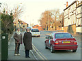
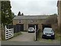
100 photos from this area
Area Information
Key information about the WN5 7PA including its size, population, and administrative classification.
- Area Type
- Postcode
- Area Size
- 1.3 hectares
- Population
- 1590
- Population Density
- 497 people/km²
House Prices in WN5 7PA
16
Properties
£268,238
Average Sold Price
£172,950
Lowest Price
£425,000
Highest Price
Showing 16 properties
| Address | Type | Beds | Baths | Last Sale Price | Last Sale Date | |
|---|---|---|---|---|---|---|
| 123 Main Street, Billinge, St Helens, WN5 7PA | house | - | - | £425,000 | Sep 2021 | |
| 127 Main Street, Billinge, St Helens, WN5 7PA | Bungalow | 3 | - | £245,000 | Nov 2016 | |
| 69 Main Street, Billinge, St Helens, WN5 7PA | house | - | - | £230,000 | Oct 2016 | |
| 119 Main Street, Billinge, St Helens, WN5 7PA | Detached | - | - | £172,950 | Jul 1998 | |
| 71 Main Street, Billinge, St Helens, WN5 7PA | undefined | - | - | - | - | |
| 73 Main Street, Billinge, St Helens, WN5 7PA | undefined | - | - | - | - | |
| 73 Main Street, Billinge, St Helens, WN5 7PA | house | - | - | - | - | |
| Living Accommodation At, Dental Practice, 155 Main Street, Billinge, St Helens, WN5 7PA | Detached | - | - | - | - | |
| Flat At, Foresters Arms, 135 Main Street, Billinge, St Helens, WN5 7PA | Flat | - | - | - | - | |
| 129 Main Street, Billinge, St Helens, WN5 7PA | Detached | - | - | - | - |
Page 1 of 2
Energy Efficiency in WN5 7PA
Amenities
Schools
| Rank | School | Type | Entry gender | Ages |
|---|
Explore more schools in this area
Go to Schools tabDemographics
Household Size
Two person
most common
Accommodation Type
Houses
most common
Tenure
71
majority
Ethnic Group
White
most common
Religion
N/A
most common
Household Composition
N/A
most common
Age
47
median
Adults (30-64 years)
most common
Household Deprivation
N/A
with no deprivation
NS-SEC
33
in Lower managerial occupations
Explore more demographic insights in this area
Go to Demographics tabPlanning
Planning Constraints
- Flood RiskPremium
- Ramsar Wetland SitesPremium
- Area of Outstanding Natural BeautyPremium
- Protected Nature ReservePremium
- Protected WoodlandPremium