Area Overview for WN5 7LB
Photos of WN5 7LB
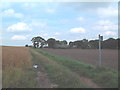
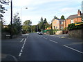


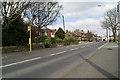
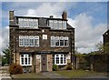
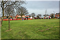
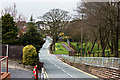
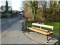


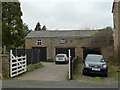
100 photos from this area
Area Information
Key information about the WN5 7LB including its size, population, and administrative classification.
- Area Type
- Postcode
- Area Size
- 14.5 hectares
- Population
- 1512
- Population Density
- 1060 people/km²
House Prices in WN5 7LB
32
Properties
£301,714
Average Sold Price
£68,000
Lowest Price
£625,000
Highest Price
Showing 32 properties
| Address | Type | Beds | Baths | Last Sale Price | Last Sale Date | |
|---|---|---|---|---|---|---|
| 66 Newton Road, Billinge, St Helens, WN5 7LB | Retail | 4 | 2 | £477,000 | Sep 2022 | |
| 71 Newton Road, Billinge, St Helens, WN5 7LB | Retail | 4 | - | £333,000 | Jun 2022 | |
| 70 Newton Road, Billinge, St Helens, WN5 7LB | Bungalow | 2 | - | £250,000 | Sep 2021 | |
| 61 Newton Road, Billinge, St Helens, WN5 7LB | house | - | - | £369,000 | Jun 2021 | |
| 59 Newton Road, Billinge, St Helens, WN5 7LB | house | - | - | £315,000 | May 2021 | |
| 87 Newton Road, Billinge, St Helens, WN5 7LB | house | - | - | £625,000 | Feb 2021 | |
| 56 Newton Road, Billinge, St Helens, WN5 7LB | Detached | 3 | 1 | £255,000 | Jul 2017 | |
| 72 Newton Road, Billinge, St Helens, WN5 7LB | Detached | 4 | 2 | £266,000 | Jan 2016 | |
| 85 Newton Road, Billinge, St Helens, WN5 7LB | Detached | 4 | - | £325,000 | Jun 2015 | |
| 64 Newton Road, Billinge, St Helens, WN5 7LB | Bungalow | - | - | £170,000 | May 2015 |
Page 1 of 4
Energy Efficiency in WN5 7LB
Amenities
Schools
| Rank | School | Type | Entry gender | Ages |
|---|
Explore more schools in this area
Go to Schools tabDemographics
Household Size
Two person
most common
Accommodation Type
Houses
most common
Tenure
82
majority
Ethnic Group
White
most common
Religion
N/A
most common
Household Composition
N/A
most common
Age
47
median
Adults (30-64 years)
most common
Household Deprivation
N/A
with no deprivation
NS-SEC
28
in Lower managerial occupations
Explore more demographic insights in this area
Go to Demographics tabPlanning
Planning Constraints
- Flood RiskPremium
- Ramsar Wetland SitesPremium
- Area of Outstanding Natural BeautyPremium
- Protected Nature ReservePremium
- Protected WoodlandPremium