Area Overview for WN5 7DN
Photos of WN5 7DN
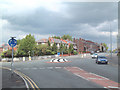
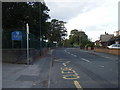
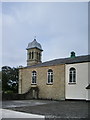
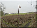
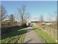
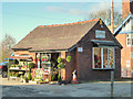


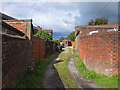
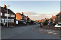
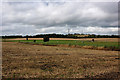
38 photos from this area
Area Information
Key information about the WN5 7DN including its size, population, and administrative classification.
- Area Type
- Postcode
- Area Size
- 8.8 hectares
- Population
- 1850
- Population Density
- 1397 people/km²
House Prices in WN5 7DN
30
Properties
£138,234
Average Sold Price
£40,000
Lowest Price
£482,000
Highest Price
Showing 30 properties
| Address | Type | Beds | Baths | Last Sale Price | Last Sale Date | |
|---|---|---|---|---|---|---|
| 239 Upholland Road, Billinge, WN5 7DN | Terraced | 3 | 1 | £185,000 | Feb 2024 | |
| 269 Upholland Road, Billinge, WN5 7DN | Terraced | 2 | 1 | £134,000 | Dec 2022 | |
| 233 Upholland Road, Billinge, WN5 7DN | house | - | - | £137,000 | Mar 2022 | |
| 317 Upholland Road, Billinge, WN5 7DN | Bungalow | 2 | 1 | £482,000 | Feb 2022 | |
| 265 Upholland Road, Billinge, WN5 7DN | Terraced | 2 | 1 | £170,000 | Dec 2021 | |
| 259 Upholland Road, Billinge, WN5 7DN | house | - | - | £155,000 | Aug 2014 | |
| 247 Upholland Road, Billinge, WN5 7DN | house | - | - | £152,000 | Dec 2011 | |
| 309 Upholland Road, Billinge, WN5 7DN | house | - | - | £177,000 | Apr 2011 | |
| 229 Upholland Road, Billinge, WN5 7DN | house | - | - | £186,000 | Oct 2007 | |
| 249 Upholland Road, Billinge, WN5 7DN | Semi-detached | - | - | £65,250 | Apr 2003 |
Page 1 of 3
Energy Efficiency in WN5 7DN
Amenities
Schools
| Rank | School | Type | Entry gender | Ages |
|---|
Explore more schools in this area
Go to Schools tabDemographics
Household Size
One person
most common
Accommodation Type
Houses
most common
Tenure
70
majority
Ethnic Group
White
most common
Religion
N/A
most common
Household Composition
N/A
most common
Age
47
median
Adults (30-64 years)
most common
Household Deprivation
N/A
with no deprivation
NS-SEC
36
in Lower managerial occupations
Explore more demographic insights in this area
Go to Demographics tabPlanning
Planning Constraints
- Flood RiskPremium
- Ramsar Wetland SitesPremium
- Area of Outstanding Natural BeautyPremium
- Protected Nature ReservePremium
- Protected WoodlandPremium