Area Overview for WN5 0BA
Photos of WN5 0BA
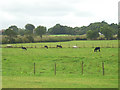
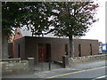
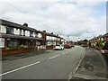
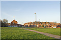
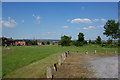
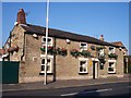
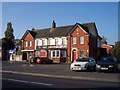
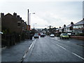
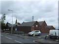
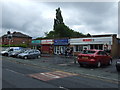
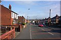
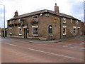
18 photos from this area
Area Information
Key information about the WN5 0BA including its size, population, and administrative classification.
- Area Type
- Postcode
- Area Size
- 1.0 hectares
- Population
- 1434
- Population Density
- 5305 people/km²
House Prices in WN5 0BA
12
Properties
£87,048
Average Sold Price
£45,333
Lowest Price
£115,000
Highest Price
Showing 12 properties
| Address | Type | Beds | Baths | Last Sale Price | Last Sale Date | |
|---|---|---|---|---|---|---|
| 105 City Road, Wigan, WN5 0BA | Semi-detached | - | - | £70,000 | Dec 2023 | |
| 109 City Road, Wigan, WN5 0BA | house | 3 | 1 | £92,000 | Aug 2022 | |
| 139 City Road, Wigan, WN5 0BA | house | 3 | 1 | £95,000 | Jul 2022 | |
| 135 City Road, Wigan, WN5 0BA | Terraced | 3 | 1 | £92,000 | Oct 2021 | |
| 133 City Road, Wigan, WN5 0BA | Terraced | 3 | 1 | £115,000 | Apr 2015 | |
| 103 City Road, Wigan, WN5 0BA | Terraced | 3 | 1 | £100,000 | Jun 2012 | |
| 137 City Road, Wigan, WN5 0BA | Terraced | - | - | £45,333 | Dec 2004 | |
| 107 City Road, Wigan, WN5 0BA | house | 2 | 1 | - | - | |
| Saint Francis Of Assisi Church Hall, City Road, Wigan, WN5 0BA | commercial | - | - | - | - | |
| 141 City Road, Wigan, WN5 0BA | Semi-detached | - | - | - | - |
Page 1 of 2
Energy Efficiency in WN5 0BA
Amenities
Schools
| Rank | School | Type | Entry gender | Ages |
|---|
Explore more schools in this area
Go to Schools tabDemographics
Household Size
Family (3-5 people)
most common
Accommodation Type
Houses
most common
Tenure
52
majority
Ethnic Group
White
most common
Religion
N/A
most common
Household Composition
N/A
most common
Age
47
median
Adults (30-64 years)
most common
Household Deprivation
N/A
with no deprivation
NS-SEC
14
in Lower managerial occupations
Explore more demographic insights in this area
Go to Demographics tabPlanning
Planning Constraints
- Flood RiskPremium
- Ramsar Wetland SitesPremium
- Area of Outstanding Natural BeautyPremium
- Protected Nature ReservePremium
- Protected WoodlandPremium