Area Overview for WN4 9SA
Photos of WN4 9SA
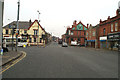
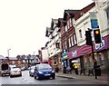
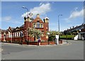
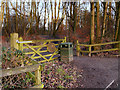
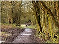
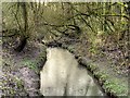
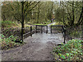
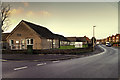
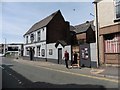
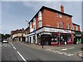
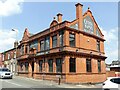
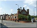
37 photos from this area
Area Information
Key information about the WN4 9SA including its size, population, and administrative classification.
- Area Type
- Postcode
- Area Size
- 1.0 hectares
- Population
- 1230
- Population Density
- 3464 people/km²
House Prices in WN4 9SA
23
Properties
£146,086
Average Sold Price
£81,000
Lowest Price
£180,000
Highest Price
Showing 23 properties
| Address | Type | Beds | Baths | Last Sale Price | Last Sale Date | |
|---|---|---|---|---|---|---|
| 8 Girton Avenue, Ashton In Makerfield, WN4 9SA | house | - | - | £180,000 | Jan 2022 | |
| 16 Girton Avenue, Ashton In Makerfield, WN4 9SA | house | - | - | £135,000 | Nov 2016 | |
| 10 Girton Avenue, Ashton In Makerfield, WN4 9SA | Semi-detached | 3 | - | £148,000 | Aug 2015 | |
| 3 Girton Avenue, Ashton In Makerfield, WN4 9SA | Bungalow | - | - | £168,000 | Jun 2014 | |
| 2 Girton Avenue, Ashton In Makerfield, WN4 9SA | Semi-detached | 3 | 1 | £160,000 | Sep 2013 | |
| 1 Girton Avenue, Ashton In Makerfield, WN4 9SA | Semi-detached | - | - | £175,000 | Sep 2013 | |
| 15 Girton Avenue, Ashton In Makerfield, WN4 9SA | Semi-detached | - | - | £180,000 | Dec 2006 | |
| 21 Girton Avenue, Ashton In Makerfield, WN4 9SA | Semi-detached | - | - | £169,950 | Nov 2006 | |
| 20 Girton Avenue, Ashton In Makerfield, WN4 9SA | Semi-detached | - | - | £128,000 | Dec 2002 | |
| 7 Girton Avenue, Ashton In Makerfield, WN4 9SA | Bungalow | - | - | £82,000 | May 2001 |
Page 1 of 3
Energy Efficiency in WN4 9SA
Amenities
Schools
| Rank | School | Type | Entry gender | Ages |
|---|
Explore more schools in this area
Go to Schools tabDemographics
Household Size
Two person
most common
Accommodation Type
Houses
most common
Tenure
95
majority
Ethnic Group
White
most common
Religion
N/A
most common
Household Composition
N/A
most common
Age
47
median
Adults (30-64 years)
most common
Household Deprivation
N/A
with no deprivation
NS-SEC
39
in Lower managerial occupations
Explore more demographic insights in this area
Go to Demographics tabPlanning
Planning Constraints
- Flood RiskPremium
- Ramsar Wetland SitesPremium
- Area of Outstanding Natural BeautyPremium
- Protected Nature ReservePremium
- Protected WoodlandPremium