Area Overview for WN4 9RZ
Photos of WN4 9RZ
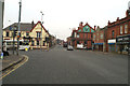
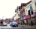
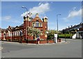
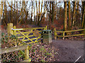
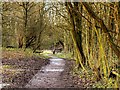
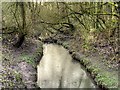
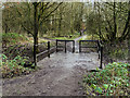

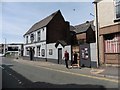
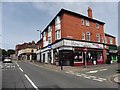


37 photos from this area
Area Information
Key information about the WN4 9RZ including its size, population, and administrative classification.
- Area Type
- Postcode
- Area Size
- 1.0 hectares
- Population
- 1487
- Population Density
- 5425 people/km²
House Prices in WN4 9RZ
48
Properties
£80,770
Average Sold Price
£10,000
Lowest Price
£155,000
Highest Price
Showing 48 properties
| Address | Type | Beds | Baths | Last Sale Price | Last Sale Date | |
|---|---|---|---|---|---|---|
| 74 Low Bank Road, Ashton In Makerfield, WN4 9RZ | Terraced | 3 | 1 | £155,000 | Jun 2025 | |
| 10 Low Bank Road, Ashton In Makerfield, WN4 9RZ | Semi-detached | 3 | 1 | £150,000 | May 2025 | |
| 14 Low Bank Road, Ashton In Makerfield, WN4 9RZ | house | - | - | £40,000 | Feb 2025 | |
| 52 Low Bank Road, Ashton In Makerfield, WN4 9RZ | Terraced | 2 | 2 | £127,000 | Apr 2024 | |
| 78 Low Bank Road, Ashton In Makerfield, WN4 9RZ | Semi-detached | 3 | 1 | £112,500 | Aug 2023 | |
| 90 Low Bank Road, Ashton In Makerfield, WN4 9RZ | Terraced | 2 | 1 | £125,000 | Aug 2023 | |
| 8 Low Bank Road, Ashton In Makerfield, WN4 9RZ | Retail | 3 | 1 | £147,000 | Oct 2022 | |
| 84 Low Bank Road, Ashton In Makerfield, WN4 9RZ | house | - | - | £142,000 | Aug 2021 | |
| 80 Low Bank Road, Ashton In Makerfield, WN4 9RZ | house | - | - | £97,000 | Jun 2021 | |
| 62 Low Bank Road, Ashton In Makerfield, WN4 9RZ | house | - | - | £114,689 | Dec 2020 |
Page 1 of 5
Energy Efficiency in WN4 9RZ
Amenities
Schools
| Rank | School | Type | Entry gender | Ages |
|---|
Explore more schools in this area
Go to Schools tabDemographics
Household Size
Two person
most common
Accommodation Type
Houses
most common
Tenure
68
majority
Ethnic Group
White
most common
Religion
N/A
most common
Household Composition
N/A
most common
Age
47
median
Adults (30-64 years)
most common
Household Deprivation
N/A
with no deprivation
NS-SEC
23
in Lower managerial occupations
Explore more demographic insights in this area
Go to Demographics tabPlanning
Planning Constraints
- Flood RiskPremium
- Ramsar Wetland SitesPremium
- Area of Outstanding Natural BeautyPremium
- Protected Nature ReservePremium
- Protected WoodlandPremium