Area Overview for WN4 8SG
Photos of WN4 8SG
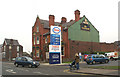
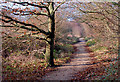
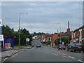

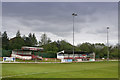
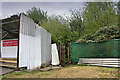
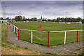
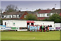
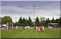

29 photos from this area
Area Information
Key information about the WN4 8SG including its size, population, and administrative classification.
- Area Type
- Postcode
- Area Size
- 7423 m²
- Population
- 1560
- Population Density
- 3753 people/km²
House Prices in WN4 8SG
17
Properties
£148,400
Average Sold Price
£65,000
Lowest Price
£248,000
Highest Price
Showing 17 properties
| Address | Type | Beds | Baths | Last Sale Price | Last Sale Date | |
|---|---|---|---|---|---|---|
| 2 Sibley Avenue, Ashton In Makerfield, WN4 8SG | Semi-detached | 2 | 1 | £150,000 | Apr 2025 | |
| 9 Sibley Avenue, Ashton In Makerfield, WN4 8SG | Detached | 3 | 1 | £248,000 | Apr 2024 | |
| 6 Sibley Avenue, Ashton In Makerfield, WN4 8SG | Semi-detached | 4 | 2 | £235,000 | Mar 2024 | |
| 12 Sibley Avenue, Ashton In Makerfield, WN4 8SG | house | - | - | £135,000 | Apr 2022 | |
| 4 Sibley Avenue, Ashton In Makerfield, WN4 8SG | Semi-detached | 3 | 1 | £125,000 | Mar 2021 | |
| 1 Sibley Avenue, Ashton In Makerfield, WN4 8SG | Bungalow | 4 | - | £136,000 | Mar 2012 | |
| 13 Sibley Avenue, Ashton In Makerfield, WN4 8SG | Semi-detached | - | - | £130,000 | Jul 2007 | |
| 5 Sibley Avenue, Ashton In Makerfield, WN4 8SG | house | - | - | £115,000 | Feb 2007 | |
| 17 Sibley Avenue, Ashton In Makerfield, WN4 8SG | Detached | 4 | 1 | £145,000 | May 2005 | |
| 3 Sibley Avenue, Ashton In Makerfield, WN4 8SG | Semi-detached | - | - | £65,000 | Jun 2003 |
Page 1 of 2
Energy Efficiency in WN4 8SG
Amenities
Schools
| Rank | School | Type | Entry gender | Ages |
|---|
Explore more schools in this area
Go to Schools tabDemographics
Household Size
Two person
most common
Accommodation Type
Houses
most common
Tenure
77
majority
Ethnic Group
White
most common
Religion
N/A
most common
Household Composition
N/A
most common
Age
47
median
Adults (30-64 years)
most common
Household Deprivation
N/A
with no deprivation
NS-SEC
30
in Lower managerial occupations
Explore more demographic insights in this area
Go to Demographics tabPlanning
Planning Constraints
- Flood RiskPremium
- Ramsar Wetland SitesPremium
- Area of Outstanding Natural BeautyPremium
- Protected Nature ReservePremium
- Protected WoodlandPremium