Area Overview for WN4 8LH
Photos of WN4 8LH
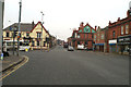
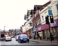
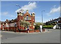
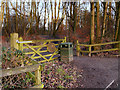
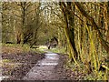
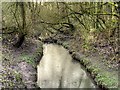
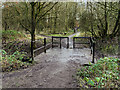
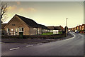
37 photos from this area
Area Information
Key information about the WN4 8LH including its size, population, and administrative classification.
- Area Type
- Postcode
- Area Size
- 8699 m²
- Population
- 1560
- Population Density
- 3753 people/km²
House Prices in WN4 8LH
20
Properties
£142,333
Average Sold Price
£107,000
Lowest Price
£170,000
Highest Price
Showing 20 properties
| Address | Type | Beds | Baths | Last Sale Price | Last Sale Date | |
|---|---|---|---|---|---|---|
| 6 Malvern Close, Ashton In Makerfield, WN4 8LH | Semi-detached | 3 | - | £115,000 | Jun 2020 | |
| 8 Malvern Close, Ashton In Makerfield, WN4 8LH | Bungalow | - | - | £160,000 | May 2019 | |
| 19 Malvern Close, Ashton In Makerfield, WN4 8LH | Bungalow | - | - | £170,000 | Aug 2018 | |
| 14 Malvern Close, Ashton In Makerfield, WN4 8LH | Semi-detached | 3 | 1 | £160,000 | Feb 2017 | |
| 2 Malvern Close, Ashton In Makerfield, WN4 8LH | Semi-detached | 2 | 1 | £107,000 | Nov 2012 | |
| 1 Malvern Close, Ashton In Makerfield, WN4 8LH | Bungalow | 2 | - | £142,000 | Mar 2012 | |
| 13 Malvern Close, Ashton In Makerfield, WN4 8LH | Semi-detached | 3 | 1 | - | - | |
| 18 Malvern Close, Ashton In Makerfield, WN4 8LH | Detached | - | - | - | - | |
| 11 Malvern Close, Ashton In Makerfield, WN4 8LH | Semi-detached | - | - | - | - | |
| 12 Malvern Close, Ashton In Makerfield, WN4 8LH | Bungalow | - | - | - | - |
Page 1 of 2
Energy Efficiency in WN4 8LH
Amenities
Schools
| Rank | School | Type | Entry gender | Ages |
|---|
Explore more schools in this area
Go to Schools tabDemographics
Household Size
Two person
most common
Accommodation Type
Houses
most common
Tenure
77
majority
Ethnic Group
White
most common
Religion
N/A
most common
Household Composition
N/A
most common
Age
47
median
Adults (30-64 years)
most common
Household Deprivation
N/A
with no deprivation
NS-SEC
30
in Lower managerial occupations
Explore more demographic insights in this area
Go to Demographics tabPlanning
Planning Constraints
- Flood RiskPremium
- Ramsar Wetland SitesPremium
- Area of Outstanding Natural BeautyPremium
- Protected Nature ReservePremium
- Protected WoodlandPremium