Area Overview for WN4 8BY
Photos of WN4 8BY

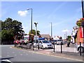
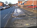
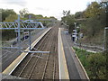
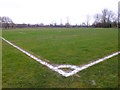

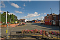

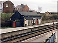
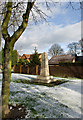
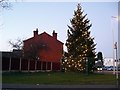
19 photos from this area
Area Information
Key information about the WN4 8BY including its size, population, and administrative classification.
- Area Type
- Postcode
- Area Size
- 7240 m²
- Population
- 1490
- Population Density
- 2738 people/km²
House Prices in WN4 8BY
17
Properties
£168,250
Average Sold Price
£65,000
Lowest Price
£260,000
Highest Price
Showing 17 properties
| Address | Type | Beds | Baths | Last Sale Price | Last Sale Date | |
|---|---|---|---|---|---|---|
| 102 Nicol Road, Ashton In Makerfield, WN4 8BY | Terraced | 2 | 1 | £140,000 | Sep 2025 | |
| 42 Nicol Road, Ashton In Makerfield, WN4 8BY | house | - | - | £260,000 | Dec 2020 | |
| 54 Nicol Road, Ashton In Makerfield, WN4 8BY | Detached | 3 | 1 | £200,000 | Jul 2019 | |
| 32 Nicol Road, Ashton In Makerfield, WN4 8BY | house | - | - | £218,500 | Dec 2018 | |
| 28 Nicol Road, Ashton In Makerfield, WN4 8BY | Bungalow | 3 | 1 | £225,000 | Oct 2018 | |
| 100 Nicol Road, Ashton In Makerfield, WN4 8BY | Terraced | 3 | 1 | £115,000 | Oct 2018 | |
| 46 Nicol Road, Ashton In Makerfield, WN4 8BY | house | 4 | 2 | £222,000 | May 2016 | |
| 34 Nicol Road, Ashton In Makerfield, WN4 8BY | Detached | 3 | - | £180,000 | Sep 2015 | |
| 48 Nicol Road, Ashton In Makerfield, WN4 8BY | Detached | 5 | 2 | £216,000 | Apr 2014 | |
| 36 Nicol Road, Ashton In Makerfield, WN4 8BY | house | 3 | - | £173,000 | Oct 2011 |
Page 1 of 2
Energy Efficiency in WN4 8BY
Amenities
Schools
| Rank | School | Type | Entry gender | Ages |
|---|
Explore more schools in this area
Go to Schools tabDemographics
Household Size
Two person
most common
Accommodation Type
Houses
most common
Tenure
94
majority
Ethnic Group
White
most common
Religion
N/A
most common
Household Composition
N/A
most common
Age
47
median
Adults (30-64 years)
most common
Household Deprivation
N/A
with no deprivation
NS-SEC
35
in Lower managerial occupations
Explore more demographic insights in this area
Go to Demographics tabPlanning
Planning Constraints
- Flood RiskPremium
- Ramsar Wetland SitesPremium
- Area of Outstanding Natural BeautyPremium
- Protected Nature ReservePremium
- Protected WoodlandPremium