Area Overview for WN4 8BW
Photos of WN4 8BW

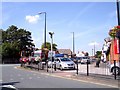
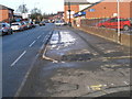
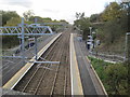
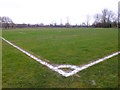
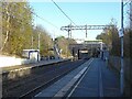
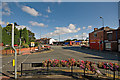

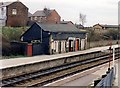
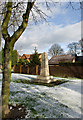
19 photos from this area
Area Information
Key information about the WN4 8BW including its size, population, and administrative classification.
- Area Type
- Postcode
- Area Size
- 7863 m²
- Population
- 1490
- Population Density
- 2738 people/km²
House Prices in WN4 8BW
18
Properties
£155,944
Average Sold Price
£58,000
Lowest Price
£231,999
Highest Price
Showing 18 properties
| Address | Type | Beds | Baths | Last Sale Price | Last Sale Date | |
|---|---|---|---|---|---|---|
| 14 Hawes Crescent, Ashton In Makerfield, WN4 8BW | Semi-detached | 3 | 1 | £231,999 | Mar 2024 | |
| 16 Hawes Crescent, Ashton In Makerfield, WN4 8BW | Semi-detached | 3 | - | £190,000 | May 2018 | |
| 7 Hawes Crescent, Ashton In Makerfield, WN4 8BW | house | - | - | £170,000 | Jun 2010 | |
| 6 Hawes Crescent, Ashton In Makerfield, WN4 8BW | house | - | - | £157,500 | Mar 2009 | |
| 12 Hawes Crescent, Ashton In Makerfield, WN4 8BW | Semi-detached | - | - | £230,000 | Nov 2006 | |
| 4 Hawes Crescent, Ashton In Makerfield, WN4 8BW | Semi-detached | - | - | £178,000 | Jul 2005 | |
| 5 Hawes Crescent, Ashton In Makerfield, WN4 8BW | Semi-detached | - | - | £110,000 | Oct 2002 | |
| 15 Hawes Crescent, Ashton In Makerfield, WN4 8BW | Semi-detached | - | - | £78,000 | Apr 2002 | |
| 10 Hawes Crescent, Ashton In Makerfield, WN4 8BW | Semi-detached | - | - | £58,000 | Aug 1995 | |
| 3 Hawes Crescent, Ashton In Makerfield, WN4 8BW | Detached | - | - | - | - |
Page 1 of 2
Energy Efficiency in WN4 8BW
Amenities
Schools
| Rank | School | Type | Entry gender | Ages |
|---|
Explore more schools in this area
Go to Schools tabDemographics
Household Size
Two person
most common
Accommodation Type
Houses
most common
Tenure
94
majority
Ethnic Group
White
most common
Religion
N/A
most common
Household Composition
N/A
most common
Age
47
median
Adults (30-64 years)
most common
Household Deprivation
N/A
with no deprivation
NS-SEC
35
in Lower managerial occupations
Explore more demographic insights in this area
Go to Demographics tabPlanning
Planning Constraints
- Flood RiskPremium
- Ramsar Wetland SitesPremium
- Area of Outstanding Natural BeautyPremium
- Protected Nature ReservePremium
- Protected WoodlandPremium