Area Overview for WN3 6PA
Photos of WN3 6PA
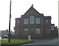
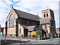
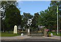
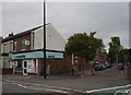
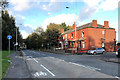
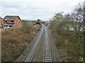
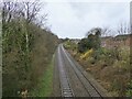
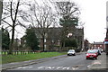
32 photos from this area
Area Information
Key information about the WN3 6PA including its size, population, and administrative classification.
- Area Type
- Postcode
- Area Size
- 5507 m²
- Population
- 1778
- Population Density
- 3312 people/km²
House Prices in WN3 6PA
29
Properties
£73,949
Average Sold Price
£182
Lowest Price
£160,000
Highest Price
Showing 29 properties
| Address | Type | Beds | Baths | Last Sale Price | Last Sale Date | |
|---|---|---|---|---|---|---|
| 221 Warrington Road, Wigan, WN3 6PA | house | - | - | £138,000 | Jun 2025 | |
| 181 Warrington Road, Wigan, WN3 6PA | house | 3 | 1 | £160,000 | Feb 2025 | |
| 209 Warrington Road, Wigan, WN3 6PA | Terraced | 3 | 1 | £160,000 | Oct 2024 | |
| 195 Warrington Road, Wigan, WN3 6PA | house | - | - | £70,000 | Apr 2021 | |
| 179 Warrington Road, Wigan, WN3 6PA | Terraced | 3 | 1 | £107,000 | Dec 2019 | |
| 223 Warrington Road, Wigan, WN3 6PA | house | - | - | £182 | Jun 2019 | |
| 193 Warrington Road, Wigan, WN3 6PA | house | 2 | 1 | £450 | Feb 2019 | |
| 217 Warrington Road, Wigan, WN3 6PA | Terraced | 2 | 1 | £80,000 | May 2018 | |
| 219 Warrington Road, Wigan, WN3 6PA | Terraced | 2 | 1 | £94,000 | Mar 2018 | |
| 231 Warrington Road, Wigan, WN3 6PA | Terraced | 3 | 1 | £64,000 | Jan 2017 |
Page 1 of 3
Energy Efficiency in WN3 6PA
Amenities
Schools
| Rank | School | Type | Entry gender | Ages |
|---|
Explore more schools in this area
Go to Schools tabDemographics
Household Size
Family (3-5 people)
most common
Accommodation Type
Houses
most common
Tenure
53
majority
Ethnic Group
White
most common
Religion
N/A
most common
Household Composition
N/A
most common
Age
47
median
Adults (30-64 years)
most common
Household Deprivation
N/A
with no deprivation
NS-SEC
21
in Lower managerial occupations
Explore more demographic insights in this area
Go to Demographics tabPlanning
Planning Constraints
- Flood RiskPremium
- Ramsar Wetland SitesPremium
- Area of Outstanding Natural BeautyPremium
- Protected Nature ReservePremium
- Protected WoodlandPremium