Area Overview for WN3 4SA
Photos of WN3 4SA
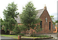
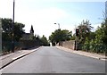
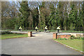
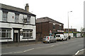
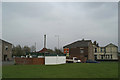
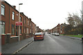
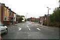
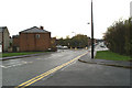
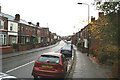
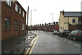
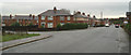
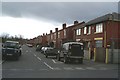
100 photos from this area
Area Information
Key information about the WN3 4SA including its size, population, and administrative classification.
- Area Type
- Postcode
- Area Size
- 7140 m²
- Population
- 1589
- Population Density
- 632 people/km²
House Prices in WN3 4SA
37
Properties
£66,286
Average Sold Price
£15,000
Lowest Price
£165,000
Highest Price
Showing 37 properties
| Address | Type | Beds | Baths | Last Sale Price | Last Sale Date | |
|---|---|---|---|---|---|---|
| 93 Manley Street, Ince, WN3 4SA | Terraced | 4 | 1 | £165,000 | Oct 2024 | |
| 59 Manley Street, Ince, WN3 4SA | house | 2 | - | £70,000 | May 2023 | |
| 85 Manley Street, Ince, WN3 4SA | house | - | - | £55,000 | Nov 2022 | |
| 89 Manley Street, Ince, WN3 4SA | house | - | - | £102,000 | Dec 2021 | |
| 79 Manley Street, Ince, WN3 4SA | Terraced | 2 | 1 | £83,250 | Oct 2021 | |
| 60 Manley Street, Ince, WN3 4SA | Terraced | 2 | - | £95,000 | Aug 2021 | |
| 58 Manley Street, Ince, WN3 4SA | house | - | - | £83,000 | Apr 2021 | |
| 76 Manley Street, Ince, WN3 4SA | Terraced | 2 | 1 | £70,500 | Nov 2020 | |
| 68 Manley Street, Ince, WN3 4SA | Terraced | 2 | - | £49,000 | Jul 2016 | |
| 51 Manley Street, Ince, WN3 4SA | Terraced | 2 | 1 | £95,500 | Dec 2015 |
Page 1 of 4
Energy Efficiency in WN3 4SA
Amenities
Schools
| Rank | School | Type | Entry gender | Ages |
|---|
Explore more schools in this area
Go to Schools tabDemographics
Household Size
One person
most common
Accommodation Type
Houses
most common
Tenure
44
majority
Ethnic Group
White
most common
Religion
N/A
most common
Household Composition
N/A
most common
Age
47
median
Adults (30-64 years)
most common
Household Deprivation
N/A
with no deprivation
NS-SEC
15
in Lower managerial occupations
Explore more demographic insights in this area
Go to Demographics tabPlanning
Planning Constraints
- Flood RiskPremium
- Ramsar Wetland SitesPremium
- Area of Outstanding Natural BeautyPremium
- Protected Nature ReservePremium
- Protected WoodlandPremium