Area Overview for WN2 5QN
Photos of WN2 5QN
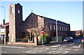
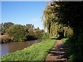
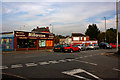
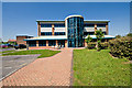
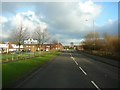
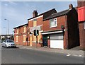
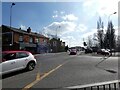
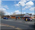
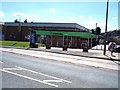
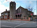
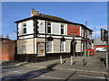
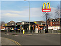
24 photos from this area
Area Information
Key information about the WN2 5QN including its size, population, and administrative classification.
- Area Type
- Postcode
- Area Size
- 9332 m²
- Population
- 1392
- Population Density
- 1323 people/km²
House Prices in WN2 5QN
19
Properties
£121,613
Average Sold Price
£45,000
Lowest Price
£183,000
Highest Price
Showing 19 properties
| Address | Type | Beds | Baths | Last Sale Price | Last Sale Date | |
|---|---|---|---|---|---|---|
| 32 Vicarage Road, Abram, WN2 5QN | Retail | 2 | 1 | £166,000 | Jul 2022 | |
| 19 Vicarage Road, Abram, WN2 5QN | Semi-detached | 2 | 1 | £162,000 | Jul 2022 | |
| 34 Vicarage Road, Abram, WN2 5QN | Retail | 2 | 1 | £167,500 | May 2022 | |
| 30 Vicarage Road, Abram, WN2 5QN | Bungalow | - | - | £183,000 | May 2021 | |
| 44 Vicarage Road, Abram, WN2 5QN | Bungalow | - | - | £150,000 | Nov 2019 | |
| 28 Vicarage Road, Abram, WN2 5QN | house | - | - | £90,000 | Oct 2018 | |
| 24 Vicarage Road, Abram, WN2 5QN | house | - | - | £85,000 | Mar 2012 | |
| 29 Vicarage Road, Abram, WN2 5QN | Semi-detached | - | - | £139,000 | Apr 2008 | |
| 21 Vicarage Road, Abram, WN2 5QN | Semi-detached | - | - | £94,242 | Nov 2004 | |
| 25 Vicarage Road, Abram, WN2 5QN | Bungalow | - | - | £56,000 | Feb 2002 |
Page 1 of 2
Energy Efficiency in WN2 5QN
Amenities
Schools
| Rank | School | Type | Entry gender | Ages |
|---|
Explore more schools in this area
Go to Schools tabDemographics
Household Size
Two person
most common
Accommodation Type
Houses
most common
Tenure
82
majority
Ethnic Group
White
most common
Religion
N/A
most common
Household Composition
N/A
most common
Age
47
median
Adults (30-64 years)
most common
Household Deprivation
N/A
with no deprivation
NS-SEC
25
in Lower managerial occupations
Explore more demographic insights in this area
Go to Demographics tabPlanning
Planning Constraints
- Flood RiskPremium
- Ramsar Wetland SitesPremium
- Area of Outstanding Natural BeautyPremium
- Protected Nature ReservePremium
- Protected WoodlandPremium