Area Overview for WN2 2EZ
Photos of WN2 2EZ
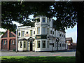
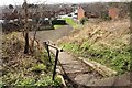
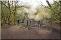
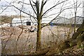

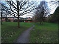
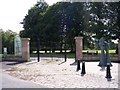
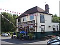
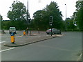

29 photos from this area
Area Information
Key information about the WN2 2EZ including its size, population, and administrative classification.
- Area Type
- Postcode
- Area Size
- 1.5 hectares
- Population
- 1534
- Population Density
- 1789 people/km²
House Prices in WN2 2EZ
37
Properties
£67,528
Average Sold Price
£9,575
Lowest Price
£116,000
Highest Price
Showing 37 properties
| Address | Type | Beds | Baths | Last Sale Price | Last Sale Date | |
|---|---|---|---|---|---|---|
| 18 Hemfield Road, Ince, WN2 2EZ | house | - | - | £110,000 | Jun 2025 | |
| 10 Hemfield Road, Ince, WN2 2EZ | Terraced | 3 | 1 | £97,975 | Feb 2025 | |
| 53 Hemfield Road, Ince, WN2 2EZ | Terraced | 3 | 1 | £105,000 | Dec 2024 | |
| 37 Hemfield Road, Ince, WN2 2EZ | Terraced | 3 | 1 | £116,000 | Aug 2024 | |
| 51 Hemfield Road, Ince, WN2 2EZ | Retail | 3 | 1 | £115,000 | Aug 2022 | |
| 57 Hemfield Road, Ince, WN2 2EZ | house | 2 | - | £60,000 | Jan 2022 | |
| 31 Hemfield Road, Ince, WN2 2EZ | house | 3 | 1 | £75,000 | Jan 2021 | |
| 59 Hemfield Road, Ince, WN2 2EZ | house | - | - | £69,000 | Jan 2020 | |
| 4 Hemfield Road, Ince, WN2 2EZ | Terraced | 2 | 1 | £74,000 | Nov 2017 | |
| 14 Hemfield Road, Ince, WN2 2EZ | Semi-detached | - | - | £9,575 | Jan 2017 |
Page 1 of 4
Energy Efficiency in WN2 2EZ
Amenities
Schools
| Rank | School | Type | Entry gender | Ages |
|---|
Explore more schools in this area
Go to Schools tabDemographics
Household Size
Two person
most common
Accommodation Type
Houses
most common
Tenure
55
majority
Ethnic Group
White
most common
Religion
N/A
most common
Household Composition
N/A
most common
Age
47
median
Adults (30-64 years)
most common
Household Deprivation
N/A
with no deprivation
NS-SEC
16
in Lower managerial occupations
Explore more demographic insights in this area
Go to Demographics tabPlanning
Planning Constraints
- Flood RiskPremium
- Ramsar Wetland SitesPremium
- Area of Outstanding Natural BeautyPremium
- Protected Nature ReservePremium
- Protected WoodlandPremium