Area Overview for WN2 1BJ
Photos of WN2 1BJ
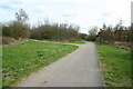
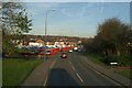
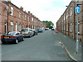
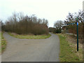
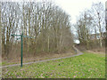
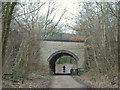
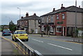
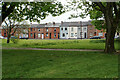
33 photos from this area
Area Information
Key information about the WN2 1BJ including its size, population, and administrative classification.
- Area Type
- Postcode
- Area Size
- 2.5 hectares
- Population
- 1530
- Population Density
- 2714 people/km²
House Prices in WN2 1BJ
14
Properties
£155,454
Average Sold Price
£40,000
Lowest Price
£259,500
Highest Price
Showing 14 properties
| Address | Type | Beds | Baths | Last Sale Price | Last Sale Date | |
|---|---|---|---|---|---|---|
| 214 Whelley, Wigan, WN2 1BJ | Semi-detached | 3 | 1 | £217,500 | Dec 2024 | |
| 212 Whelley, Wigan, WN2 1BJ | Semi-detached | 3 | 2 | £227,000 | Jun 2020 | |
| 200 Whelley, Wigan, WN2 1BJ | Detached | 4 | 2 | £259,500 | Jan 2019 | |
| 204 Whelley, Wigan, WN2 1BJ | Detached | - | - | £210,000 | May 2017 | |
| 198 Whelley, Wigan, WN2 1BJ | house | - | - | £235,000 | Aug 2010 | |
| 224 Whelley, Wigan, WN2 1BJ | house | - | - | £88,536 | Feb 2009 | |
| 210 Whelley, Wigan, WN2 1BJ | Semi-detached | - | - | £74,000 | Jul 2003 | |
| 202 Whelley, Wigan, WN2 1BJ | house | - | - | £145,000 | Mar 2003 | |
| 218 Whelley, Wigan, WN2 1BJ | house | - | - | £58,000 | Mar 2001 | |
| 216 Whelley, Wigan, WN2 1BJ | house | - | - | £40,000 | Jul 1999 |
Page 1 of 2
Energy Efficiency in WN2 1BJ
Amenities
Schools
| Rank | School | Type | Entry gender | Ages |
|---|
Explore more schools in this area
Go to Schools tabDemographics
Household Size
Two person
most common
Accommodation Type
Houses
most common
Tenure
86
majority
Ethnic Group
White
most common
Religion
N/A
most common
Household Composition
N/A
most common
Age
47
median
Adults (30-64 years)
most common
Household Deprivation
N/A
with no deprivation
NS-SEC
25
in Lower managerial occupations
Explore more demographic insights in this area
Go to Demographics tabPlanning
Planning Constraints
- Flood RiskPremium
- Ramsar Wetland SitesPremium
- Area of Outstanding Natural BeautyPremium
- Protected Nature ReservePremium
- Protected WoodlandPremium