Area Overview for WN1 2TE
Photos of WN1 2TE
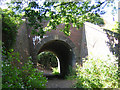
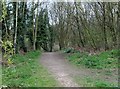
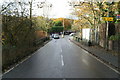
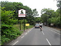
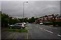
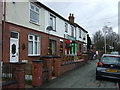
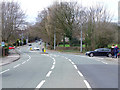
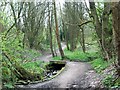

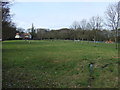
32 photos from this area
Area Information
Key information about the WN1 2TE including its size, population, and administrative classification.
- Area Type
- Postcode
- Area Size
- 4.6 hectares
- Population
- 1989
- Population Density
- 292 people/km²
House Prices in WN1 2TE
28
Properties
£423,829
Average Sold Price
£82,750
Lowest Price
£1,300,000
Highest Price
Showing 28 properties
| Address | Type | Beds | Baths | Last Sale Price | Last Sale Date | |
|---|---|---|---|---|---|---|
| 153 Chorley Road, Standish, WN1 2TE | Semi-detached | 2 | - | £800,000 | Mar 2024 | |
| Mill House, Chorley Road, Standish, WN1 2TE | house | 4 | 4 | £1,150,000 | Oct 2023 | |
| Jolly Mill Cottage, Chorley Road, Standish, WN1 2TE | Detached | 4 | 3 | £925,000 | Nov 2022 | |
| 137 Chorley Road, Standish, WN1 2TE | Bungalow | 3 | - | £350,000 | Jan 2022 | |
| 117 Chorley Road, Standish, WN1 2TE | house | - | - | £300,000 | Jun 2021 | |
| Vale House, Chorley Road, Standish, WN1 2TE | house | - | - | £345,000 | Jan 2021 | |
| Jolly Mill, 120 Chorley Road, Standish, WN1 2TE | Detached | 6 | 3 | £1,300,000 | Nov 2020 | |
| 147 Chorley Road, Standish, WN1 2TE | Detached | 3 | 2 | £269,000 | Aug 2019 | |
| Rivington, 126 Chorley Road, Standish, WN1 2TE | Detached | 4 | - | £210,000 | Nov 2018 | |
| 145 Chorley Road, Standish, WN1 2TE | Bungalow | 2 | 2 | £260,000 | May 2018 |
Page 1 of 3
Energy Efficiency in WN1 2TE
Amenities
Schools
| Rank | School | Type | Entry gender | Ages |
|---|
Explore more schools in this area
Go to Schools tabDemographics
Household Size
Two person
most common
Accommodation Type
Houses
most common
Tenure
83
majority
Ethnic Group
White
most common
Religion
N/A
most common
Household Composition
N/A
most common
Age
47
median
Adults (30-64 years)
most common
Household Deprivation
N/A
with no deprivation
NS-SEC
45
in Lower managerial occupations
Explore more demographic insights in this area
Go to Demographics tabPlanning
Planning Constraints
- Flood RiskPremium
- Ramsar Wetland SitesPremium
- Area of Outstanding Natural BeautyPremium
- Protected Nature ReservePremium
- Protected WoodlandPremium