Area Overview for WN1 2SN
Photos of WN1 2SN
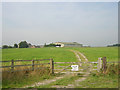
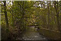
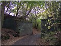
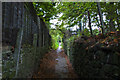
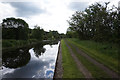
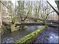
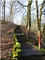
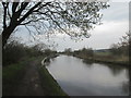
21 photos from this area
Area Information
Key information about the WN1 2SN including its size, population, and administrative classification.
- Area Type
- Postcode
- Area Size
- 22.5 hectares
- Population
- 1989
- Population Density
- 292 people/km²
House Prices in WN1 2SN
10
Properties
£599,355
Average Sold Price
£345,000
Lowest Price
£1,170,000
Highest Price
Showing 10 properties
| Address | Type | Beds | Baths | Last Sale Price | Last Sale Date | |
|---|---|---|---|---|---|---|
| Rothwells Farm, Sennicar Lane, Wigan, WN1 2SN | Detached | 4 | 1 | £625,000 | Apr 2025 | |
| Wynburne, 1 Sennicar Lane, Wigan, WN1 2SN | Bungalow | 4 | 2 | £426,130 | Dec 2021 | |
| Haigh Park Farm, Sennicar Lane, Wigan, WN1 2SN | Detached | 7 | 6 | £1,170,000 | May 2021 | |
| Silverwood, Sennicar Lane, Wigan, WN1 2SN | Detached | 4 | 3 | £650,000 | Nov 2019 | |
| 3 Sennicar Lane, Wigan, WN1 2SN | Semi-detached | 3 | 2 | £345,000 | Jan 2019 | |
| Haigh Park Lodge, Sennicar Lane, Wigan, WN1 2SN | house | 3 | - | £380,000 | Aug 2015 | |
| 2 Sennicar Lane, Wigan, WN1 2SN | Semi-detached | 3 | 2 | - | - | |
| Rothwells Stud, Sennicar Lane, Wigan, WN1 2SN | Equestrian | - | - | - | - | |
| Caravan, Rothwells Stud, Sennicar Lane, Wigan, WN1 2SN | Mobile Home | - | - | - | - | |
| Sennicar House, Sennicar Lane, Wigan, WN1 2SN | house | - | - | - | - |
Energy Efficiency in WN1 2SN
Amenities
Schools
| Rank | School | Type | Entry gender | Ages |
|---|
Explore more schools in this area
Go to Schools tabDemographics
Household Size
Two person
most common
Accommodation Type
Houses
most common
Tenure
83
majority
Ethnic Group
White
most common
Religion
N/A
most common
Household Composition
N/A
most common
Age
47
median
Adults (30-64 years)
most common
Household Deprivation
N/A
with no deprivation
NS-SEC
45
in Lower managerial occupations
Explore more demographic insights in this area
Go to Demographics tabPlanning
Planning Constraints
- Flood RiskPremium
- Ramsar Wetland SitesPremium
- Area of Outstanding Natural BeautyPremium
- Protected Nature ReservePremium
- Protected WoodlandPremium