Area Overview for WN1 2LH
Photos of WN1 2LH
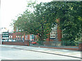
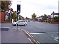

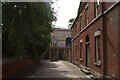
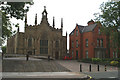
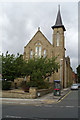
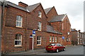
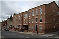

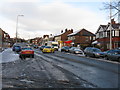
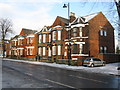
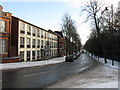
56 photos from this area
Area Information
Key information about the WN1 2LH including its size, population, and administrative classification.
- Area Type
- Postcode
- Area Size
- 8289 m²
- Population
- 1886
- Population Density
- 3839 people/km²
House Prices in WN1 2LH
31
Properties
£51,438
Average Sold Price
£10,090
Lowest Price
£78,000
Highest Price
Showing 31 properties
| Address | Type | Beds | Baths | Last Sale Price | Last Sale Date | |
|---|---|---|---|---|---|---|
| 27 Newton Close, Wigan, WN1 2LH | Flat | - | - | £38,000 | Dec 2025 | |
| 22 Newton Close, Wigan, WN1 2LH | Flat | 2 | 1 | £78,000 | Sep 2025 | |
| 18 Newton Close, Wigan, WN1 2LH | Flat | 1 | 1 | £46,481 | Dec 2024 | |
| 24 Newton Close, Wigan, WN1 2LH | Flat | - | - | £62,500 | Aug 2024 | |
| 23 Newton Close, Wigan, WN1 2LH | Flat | - | - | £45,500 | Jul 2023 | |
| 31 Newton Close, Wigan, WN1 2LH | Flat | - | - | £55,000 | Mar 2023 | |
| 25 Newton Close, Wigan, WN1 2LH | Flat | 1 | 1 | £40,000 | Dec 2022 | |
| 12 Newton Close, Wigan, WN1 2LH | Flat | - | - | £50,500 | Sep 2022 | |
| 6 Newton Close, Wigan, WN1 2LH | Flat | 2 | 1 | £39,950 | Mar 2022 | |
| 1 Newton Close, Wigan, WN1 2LH | Flat | 1 | 1 | £32,000 | Jul 2021 |
Page 1 of 4
Energy Efficiency in WN1 2LH
Amenities
Schools
| Rank | School | Type | Entry gender | Ages |
|---|
Explore more schools in this area
Go to Schools tabDemographics
Household Size
One person
most common
Accommodation Type
Flats
most common
Tenure
41
majority
Ethnic Group
White
most common
Religion
N/A
most common
Household Composition
N/A
most common
Age
47
median
Adults (30-64 years)
most common
Household Deprivation
N/A
with no deprivation
NS-SEC
33
in Lower managerial occupations
Explore more demographic insights in this area
Go to Demographics tabPlanning
Planning Constraints
- Flood RiskPremium
- Ramsar Wetland SitesPremium
- Area of Outstanding Natural BeautyPremium
- Protected Nature ReservePremium
- Protected WoodlandPremium