Area Overview for WA9 4WL
Photos of WA9 4WL
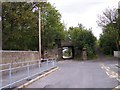
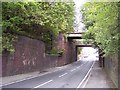
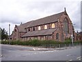
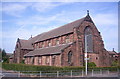
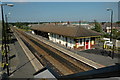
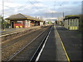
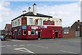
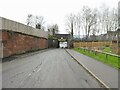
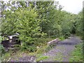
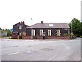
37 photos from this area
Area Information
Key information about the WA9 4WL including its size, population, and administrative classification.
- Area Type
- Postcode
- Area Size
- 5768 m²
- Population
- 1660
- Population Density
- 1848 people/km²
House Prices in WA9 4WL
22
Properties
£78,688
Average Sold Price
£33,982
Lowest Price
£140,000
Highest Price
Showing 22 properties
| Address | Type | Beds | Baths | Last Sale Price | Last Sale Date | |
|---|---|---|---|---|---|---|
| 12 Walter Grove, Bold, St Helens, WA9 4WL | Semi-detached | 2 | 1 | £140,000 | Feb 2025 | |
| 17 Walter Grove, Bold, St Helens, WA9 4WL | Semi-detached | 2 | 1 | £138,500 | Feb 2025 | |
| 16 Walter Grove, Bold, St Helens, WA9 4WL | house | 2 | 1 | £100,000 | Nov 2022 | |
| 19 Walter Grove, Bold, St Helens, WA9 4WL | house | - | - | £98,000 | Aug 2021 | |
| 10 Walter Grove, Bold, St Helens, WA9 4WL | Semi-detached | 2 | 1 | £73,000 | Aug 2018 | |
| 5 Walter Grove, Bold, St Helens, WA9 4WL | house | 2 | 1 | £63,000 | Mar 2014 | |
| 13 Walter Grove, Bold, St Helens, WA9 4WL | Semi-detached | 2 | 1 | £66,000 | Jun 2012 | |
| 7 Walter Grove, Bold, St Helens, WA9 4WL | Terraced | - | - | £113,500 | Apr 2008 | |
| 8 Walter Grove, Bold, St Helens, WA9 4WL | house | - | - | £33,982 | Jul 2006 | |
| 23 Walter Grove, Bold, St Helens, WA9 4WL | Terraced | - | - | £79,950 | Oct 2005 |
Page 1 of 3
Energy Efficiency in WA9 4WL
Amenities
Schools
| Rank | School | Type | Entry gender | Ages |
|---|
Explore more schools in this area
Go to Schools tabDemographics
Household Size
Two person
most common
Accommodation Type
Houses
most common
Tenure
62
majority
Ethnic Group
White
most common
Religion
N/A
most common
Household Composition
N/A
most common
Age
47
median
Adults (30-64 years)
most common
Household Deprivation
N/A
with no deprivation
NS-SEC
27
in Lower managerial occupations
Explore more demographic insights in this area
Go to Demographics tabPlanning
Planning Constraints
- Flood RiskPremium
- Ramsar Wetland SitesPremium
- Area of Outstanding Natural BeautyPremium
- Protected Nature ReservePremium
- Protected WoodlandPremium