Area Overview for WA9 4PY
Photos of WA9 4PY
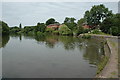
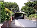
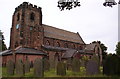
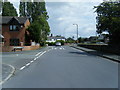
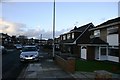
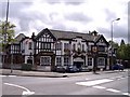
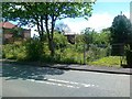
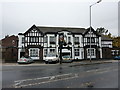

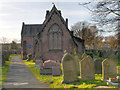
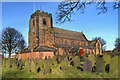

19 photos from this area
Area Information
Key information about the WA9 4PY including its size, population, and administrative classification.
- Area Type
- Postcode
- Area Size
- 8874 m²
- Population
- 1660
- Population Density
- 1848 people/km²
House Prices in WA9 4PY
18
Properties
£100,923
Average Sold Price
£31,000
Lowest Price
£170,000
Highest Price
Showing 18 properties
| Address | Type | Beds | Baths | Last Sale Price | Last Sale Date | |
|---|---|---|---|---|---|---|
| 91 Gerards Lane, Sutton Leach, St Helens, WA9 4PY | Semi-detached | 3 | 1 | £170,000 | Dec 2024 | |
| 95 Gerards Lane, Sutton Leach, St Helens, WA9 4PY | Semi-detached | 2 | 1 | £90,000 | Jun 2024 | |
| 89 Gerards Lane, Sutton Leach, St Helens, WA9 4PY | Semi-detached | 3 | 2 | £115,000 | Oct 2022 | |
| 87 Gerards Lane, Sutton Leach, St Helens, WA9 4PY | Semi-detached | 2 | 1 | £140,000 | Oct 2021 | |
| 92 Gerards Lane, Sutton Leach, St Helens, WA9 4PY | house | - | - | £100,000 | Apr 2021 | |
| 103 Gerards Lane, Sutton Leach, St Helens, WA9 4PY | Semi-detached | 3 | 1 | £169,000 | Apr 2021 | |
| 99 Gerards Lane, Sutton Leach, St Helens, WA9 4PY | Semi-detached | 3 | 1 | £120,000 | Apr 2018 | |
| 98 Gerards Lane, Sutton Leach, St Helens, WA9 4PY | Semi-detached | 3 | 2 | £75,000 | Jun 2016 | |
| 93 Gerards Lane, Sutton Leach, St Helens, WA9 4PY | Semi-detached | 3 | 1 | £57,500 | Dec 2015 | |
| 85 Gerards Lane, Sutton Leach, St Helens, WA9 4PY | Semi-detached | 3 | 1 | £87,500 | Jun 2013 |
Page 1 of 2
Energy Efficiency in WA9 4PY
Amenities
Schools
| Rank | School | Type | Entry gender | Ages |
|---|
Explore more schools in this area
Go to Schools tabDemographics
Household Size
Two person
most common
Accommodation Type
Houses
most common
Tenure
62
majority
Ethnic Group
White
most common
Religion
N/A
most common
Household Composition
N/A
most common
Age
47
median
Adults (30-64 years)
most common
Household Deprivation
N/A
with no deprivation
NS-SEC
27
in Lower managerial occupations
Explore more demographic insights in this area
Go to Demographics tabPlanning
Planning Constraints
- Flood RiskPremium
- Ramsar Wetland SitesPremium
- Area of Outstanding Natural BeautyPremium
- Protected Nature ReservePremium
- Protected WoodlandPremium