Area Overview for WA9 1DP
Photos of WA9 1DP
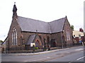
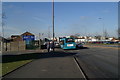
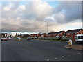
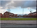
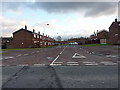
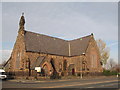
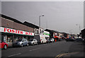
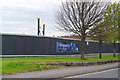
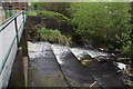
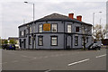
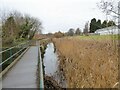
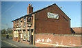
31 photos from this area
Area Information
Key information about the WA9 1DP including its size, population, and administrative classification.
- Area Type
- Postcode
- Area Size
- 2728 m²
- Population
- 1519
- Population Density
- 2418 people/km²
House Prices in WA9 1DP
9
Properties
£51,917
Average Sold Price
£13,000
Lowest Price
£92,500
Highest Price
Showing 9 properties
| Address | Type | Beds | Baths | Last Sale Price | Last Sale Date | |
|---|---|---|---|---|---|---|
| 41 Park Road, St Helens, WA9 1DP | Terraced | 3 | 2 | £92,500 | Feb 2024 | |
| 43 Park Road, St Helens, WA9 1DP | Terraced | 2 | 1 | £92,500 | Feb 2024 | |
| 39 Park Road, St Helens, WA9 1DP | Terraced | 3 | 2 | £60,000 | Jul 2012 | |
| 53 Park Road, St Helens, WA9 1DP | house | - | - | £38,000 | Jan 2004 | |
| 45 Park Road, St Helens, WA9 1DP | house | - | - | £13,000 | Jun 1998 | |
| 55 Park Road, St Helens, WA9 1DP | retail_financial | - | - | £15,500 | May 1998 | |
| 57 Park Road, St Helens, WA9 1DP | Terraced | 2 | 1 | - | - | |
| 51A Park Road, St Helens, WA9 1DP | Flat | - | - | - | - | |
| Flat Over Shop, 47 Park Road, St Helens, WA9 1DP | Flat | - | - | - | - |
Energy Efficiency in WA9 1DP
Amenities
Schools
| Rank | School | Type | Entry gender | Ages |
|---|
Explore more schools in this area
Go to Schools tabDemographics
Household Size
One person
most common
Accommodation Type
Houses
most common
Tenure
22
majority
Ethnic Group
White
most common
Religion
N/A
most common
Household Composition
N/A
most common
Age
47
median
Adults (30-64 years)
most common
Household Deprivation
N/A
with no deprivation
NS-SEC
13
in Lower managerial occupations
Explore more demographic insights in this area
Go to Demographics tabPlanning
Planning Constraints
- Flood RiskPremium
- Ramsar Wetland SitesPremium
- Area of Outstanding Natural BeautyPremium
- Protected Nature ReservePremium
- Protected WoodlandPremium