Area Overview for WA8 9ZS
Photos of WA8 9ZS
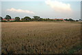
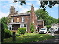
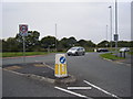
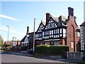
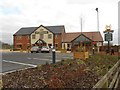
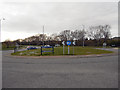
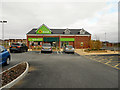
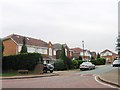
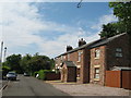
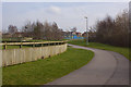
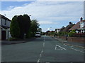
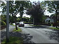
13 photos from this area
Area Information
Key information about the WA8 9ZS including its size, population, and administrative classification.
- Area Type
- Postcode
- Area Size
- 9717 m²
- Population
- 2707
- Population Density
- 4018 people/km²
House Prices in WA8 9ZS
22
Properties
£233,632
Average Sold Price
£128,950
Lowest Price
£380,000
Highest Price
Showing 22 properties
| Address | Type | Beds | Baths | Last Sale Price | Last Sale Date | |
|---|---|---|---|---|---|---|
| 2 Old Upton Lane, Widnes, WA8 9ZS | Detached | 4 | 3 | £335,000 | May 2025 | |
| 40 Old Upton Lane, Widnes, WA8 9ZS | Detached | 4 | 3 | £380,000 | Mar 2025 | |
| 16 Old Upton Lane, Widnes, WA8 9ZS | Detached | 4 | 3 | £375,000 | Feb 2025 | |
| 12 Old Upton Lane, Widnes, WA8 9ZS | house | - | - | £350,000 | Nov 2021 | |
| 14 Old Upton Lane, Widnes, WA8 9ZS | Detached | 4 | - | £305,000 | Jun 2020 | |
| 30 Old Upton Lane, Widnes, WA8 9ZS | Detached | 4 | 1 | £285,000 | Nov 2018 | |
| 22 Old Upton Lane, Widnes, WA8 9ZS | Detached | 4 | - | £242,000 | Jul 2015 | |
| 6 Old Upton Lane, Widnes, WA8 9ZS | Detached | 4 | - | £275,000 | Mar 2015 | |
| 4 Old Upton Lane, Widnes, WA8 9ZS | Detached | 4 | - | £279,950 | Aug 2014 | |
| 32 Old Upton Lane, Widnes, WA8 9ZS | house | - | - | £210,500 | May 2014 |
Page 1 of 3
Energy Efficiency in WA8 9ZS
Amenities
Schools
| Rank | School | Type | Entry gender | Ages |
|---|
Explore more schools in this area
Go to Schools tabDemographics
Household Size
Family (3-5 people)
most common
Accommodation Type
Houses
most common
Tenure
85
majority
Ethnic Group
White
most common
Religion
N/A
most common
Household Composition
N/A
most common
Age
47
median
Adults (30-64 years)
most common
Household Deprivation
N/A
with no deprivation
NS-SEC
44
in Lower managerial occupations
Explore more demographic insights in this area
Go to Demographics tabPlanning
Planning Constraints
- Flood RiskPremium
- Ramsar Wetland SitesPremium
- Area of Outstanding Natural BeautyPremium
- Protected Nature ReservePremium
- Protected WoodlandPremium