Area Overview for WA8 9NF
Photos of WA8 9NF
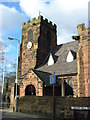
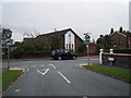
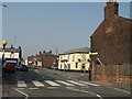
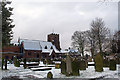
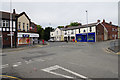
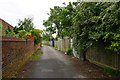
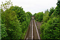
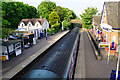
43 photos from this area
Area Information
Key information about the WA8 9NF including its size, population, and administrative classification.
- Area Type
- Postcode
- Area Size
- 5756 m²
- Population
- 1918
- Population Density
- 5309 people/km²
House Prices in WA8 9NF
17
Properties
£186,600
Average Sold Price
£70,000
Lowest Price
£320,000
Highest Price
Showing 17 properties
| Address | Type | Beds | Baths | Last Sale Price | Last Sale Date | |
|---|---|---|---|---|---|---|
| 139 Derby Road, Widnes, WA8 9NF | house | 3 | 2 | £296,000 | Aug 2025 | |
| 123 Derby Road, Widnes, WA8 9NF | Bungalow | 2 | 1 | £320,000 | Aug 2022 | |
| 111 Derby Road, Widnes, WA8 9NF | house | - | - | £265,000 | Dec 2019 | |
| 133 Derby Road, Widnes, WA8 9NF | house | - | - | £175,000 | Jul 2019 | |
| 113 Derby Road, Widnes, WA8 9NF | house | - | - | £170,000 | Dec 2017 | |
| 109 Derby Road, Widnes, WA8 9NF | house | - | - | £140,000 | Aug 2016 | |
| 137 Derby Road, Widnes, WA8 9NF | house | - | - | £115,000 | Jul 2011 | |
| 119 Derby Road, Widnes, WA8 9NF | Detached | - | - | £190,000 | Feb 2008 | |
| 115 Derby Road, Widnes, WA8 9NF | Semi-detached | - | - | £125,000 | Sep 2007 | |
| 125 Derby Road, Widnes, WA8 9NF | Detached | - | - | £70,000 | May 2000 |
Page 1 of 2
Energy Efficiency in WA8 9NF
Amenities
Schools
| Rank | School | Type | Entry gender | Ages |
|---|
Explore more schools in this area
Go to Schools tabDemographics
Household Size
Family (3-5 people)
most common
Accommodation Type
Houses
most common
Tenure
66
majority
Ethnic Group
White
most common
Religion
N/A
most common
Household Composition
N/A
most common
Age
47
median
Adults (30-64 years)
most common
Household Deprivation
N/A
with no deprivation
NS-SEC
32
in Lower managerial occupations
Explore more demographic insights in this area
Go to Demographics tabPlanning
Planning Constraints
- Flood RiskPremium
- Ramsar Wetland SitesPremium
- Area of Outstanding Natural BeautyPremium
- Protected Nature ReservePremium
- Protected WoodlandPremium