Area Overview for WA8 9HB
Photos of WA8 9HB
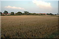
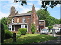
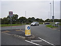
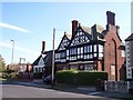
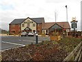
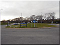
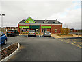
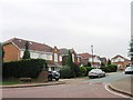
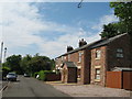
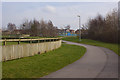
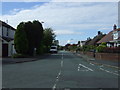
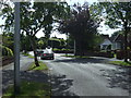
13 photos from this area
Area Information
Key information about the WA8 9HB including its size, population, and administrative classification.
- Area Type
- Postcode
- Area Size
- 1.3 hectares
- Population
- 1501
- Population Density
- 3243 people/km²
House Prices in WA8 9HB
15
Properties
£336,000
Average Sold Price
£114,000
Lowest Price
£700,000
Highest Price
Showing 15 properties
| Address | Type | Beds | Baths | Last Sale Price | Last Sale Date | |
|---|---|---|---|---|---|---|
| 15 Upton Bridle Path, Widnes, WA8 9HB | Detached | 4 | 3 | £490,000 | Mar 2025 | |
| 25 Upton Bridle Path, Widnes, WA8 9HB | Detached | 5 | 3 | £700,000 | Mar 2021 | |
| 23 Upton Bridle Path, Widnes, WA8 9HB | house | - | - | £482,000 | Nov 2020 | |
| 38 Upton Bridle Path, Widnes, WA8 9HB | Semi-detached | 4 | 2 | £283,000 | Mar 2019 | |
| 28 Upton Bridle Path, Widnes, WA8 9HB | Detached | 4 | 3 | £430,000 | Dec 2018 | |
| 13 Upton Bridle Path, Widnes, WA8 9HB | Detached | - | - | £240,000 | Jul 2012 | |
| 19 Upton Bridle Path, Widnes, WA8 9HB | Detached | - | - | £145,000 | May 2001 | |
| 32 Upton Bridle Path, Widnes, WA8 9HB | Detached | 4 | 2 | £140,000 | Jan 2000 | |
| 42 Upton Bridle Path, Widnes, WA8 9HB | Bungalow | 2 | 2 | £114,000 | Nov 1997 | |
| 17 Upton Bridle Path, Widnes, WA8 9HB | Detached | - | - | - | - |
Page 1 of 2
Energy Efficiency in WA8 9HB
Amenities
Schools
| Rank | School | Type | Entry gender | Ages |
|---|
Explore more schools in this area
Go to Schools tabDemographics
Household Size
Family (3-5 people)
most common
Accommodation Type
Houses
most common
Tenure
95
majority
Ethnic Group
White
most common
Religion
N/A
most common
Household Composition
N/A
most common
Age
47
median
Adults (30-64 years)
most common
Household Deprivation
N/A
with no deprivation
NS-SEC
48
in Lower managerial occupations
Explore more demographic insights in this area
Go to Demographics tabPlanning
Planning Constraints
- Flood RiskPremium
- Ramsar Wetland SitesPremium
- Area of Outstanding Natural BeautyPremium
- Protected Nature ReservePremium
- Protected WoodlandPremium