Area Overview for WA8 7HT
Photos of WA8 7HT
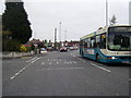
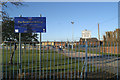
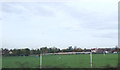
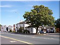
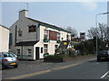
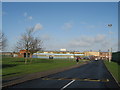
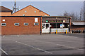
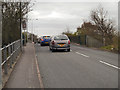
12 photos from this area
Area Information
Key information about the WA8 7HT including its size, population, and administrative classification.
- Area Type
- Postcode
- Area Size
- 4.3 hectares
- Population
- 1729
- Population Density
- 5795 people/km²
House Prices in WA8 7HT
39
Properties
£165,607
Average Sold Price
£55,000
Lowest Price
£356,000
Highest Price
Showing 39 properties
| Address | Type | Beds | Baths | Last Sale Price | Last Sale Date | |
|---|---|---|---|---|---|---|
| 288 Liverpool Road, Widnes, WA8 7HT | Semi-detached | 3 | 2 | £245,000 | Jun 2025 | |
| 318 Liverpool Road, Widnes, WA8 7HT | house | - | - | £155,000 | Feb 2024 | |
| 268 Liverpool Road, Widnes, WA8 7HT | house | - | - | £255,000 | Dec 2023 | |
| 306 Liverpool Road, Widnes, WA8 7HT | house | - | - | £356,000 | Aug 2022 | |
| 280 Liverpool Road, Widnes, WA8 7HT | Semi-detached | 3 | 2 | £240,000 | Aug 2022 | |
| 266 Liverpool Road, Widnes, WA8 7HT | Retail | 4 | 3 | £335,000 | Aug 2022 | |
| 284 Liverpool Road, Widnes, WA8 7HT | house | - | - | £211,000 | Nov 2021 | |
| 328 Liverpool Road, Widnes, WA8 7HT | Semi-detached | 3 | 1 | £250,000 | Oct 2021 | |
| 274 Liverpool Road, Widnes, WA8 7HT | house | - | - | £212,000 | Oct 2017 | |
| 330 Liverpool Road, Widnes, WA8 7HT | house | - | - | £210,000 | Aug 2017 |
Page 1 of 4
Energy Efficiency in WA8 7HT
Amenities
Schools
| Rank | School | Type | Entry gender | Ages |
|---|
Explore more schools in this area
Go to Schools tabDemographics
Household Size
Family (3-5 people)
most common
Accommodation Type
Houses
most common
Tenure
57
majority
Ethnic Group
White
most common
Religion
N/A
most common
Household Composition
N/A
most common
Age
47
median
Adults (30-64 years)
most common
Household Deprivation
N/A
with no deprivation
NS-SEC
19
in Lower managerial occupations
Explore more demographic insights in this area
Go to Demographics tabPlanning
Planning Constraints
- Flood RiskPremium
- Ramsar Wetland SitesPremium
- Area of Outstanding Natural BeautyPremium
- Protected Nature ReservePremium
- Protected WoodlandPremium