Area Overview for WA8 7HR
Photos of WA8 7HR
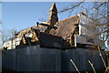
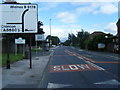
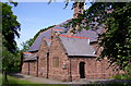
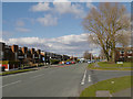
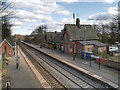
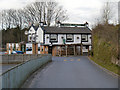
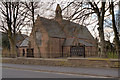
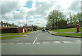
32 photos from this area
Area Information
Key information about the WA8 7HR including its size, population, and administrative classification.
- Area Type
- Postcode
- Area Size
- 1.1 hectares
- Population
- 1590
- Population Density
- 4585 people/km²
House Prices in WA8 7HR
17
Properties
£146,917
Average Sold Price
£72,000
Lowest Price
£187,000
Highest Price
Showing 17 properties
| Address | Type | Beds | Baths | Last Sale Price | Last Sale Date | |
|---|---|---|---|---|---|---|
| 381 Liverpool Road, Widnes, WA8 7HR | house | - | - | £160,000 | May 2024 | |
| 377 Liverpool Road, Widnes, WA8 7HR | Semi-detached | 3 | 1 | £187,000 | Aug 2020 | |
| 387 Liverpool Road, Widnes, WA8 7HR | house | - | - | £175,500 | Mar 2018 | |
| 367 Liverpool Road, Widnes, WA8 7HR | Bungalow | 3 | 1 | £167,000 | Dec 2015 | |
| 379 Liverpool Road, Widnes, WA8 7HR | Semi-detached | - | - | £120,000 | Nov 2003 | |
| 383 Liverpool Road, Widnes, WA8 7HR | Detached | - | - | £72,000 | Aug 1998 | |
| 329 Liverpool Road, Widnes, WA8 7HR | Semi-detached | 3 | 1 | - | - | |
| 371 Liverpool Road, Widnes, WA8 7HR | Detached | - | - | - | - | |
| 377A Liverpool Road, Widnes, WA8 7HR | Detached | - | - | - | - | |
| 385 Liverpool Road, Widnes, WA8 7HR | Semi-detached | - | - | - | - |
Page 1 of 2
Energy Efficiency in WA8 7HR
Amenities
Schools
| Rank | School | Type | Entry gender | Ages |
|---|
Explore more schools in this area
Go to Schools tabDemographics
Household Size
Two person
most common
Accommodation Type
Houses
most common
Tenure
65
majority
Ethnic Group
White
most common
Religion
N/A
most common
Household Composition
N/A
most common
Age
47
median
Adults (30-64 years)
most common
Household Deprivation
N/A
with no deprivation
NS-SEC
24
in Lower managerial occupations
Explore more demographic insights in this area
Go to Demographics tabPlanning
Planning Constraints
- Flood RiskPremium
- Ramsar Wetland SitesPremium
- Area of Outstanding Natural BeautyPremium
- Protected Nature ReservePremium
- Protected WoodlandPremium