Area Overview for WA8 6TB
Photos of WA8 6TB
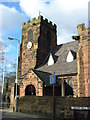
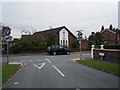
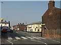
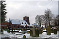
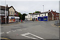
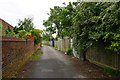
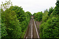
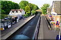

43 photos from this area
Area Information
Key information about the WA8 6TB including its size, population, and administrative classification.
- Area Type
- Postcode
- Area Size
- 6249 m²
- Population
- 1785
- Population Density
- 4117 people/km²
House Prices in WA8 6TB
15
Properties
£112,700
Average Sold Price
£90,000
Lowest Price
£125,000
Highest Price
Showing 15 properties
| Address | Type | Beds | Baths | Last Sale Price | Last Sale Date | |
|---|---|---|---|---|---|---|
| 131 Peel House Lane, Widnes, WA8 6TB | house | - | - | £115,000 | Apr 2020 | |
| 117 Peel House Lane, Widnes, WA8 6TB | house | - | - | £90,000 | Jun 2014 | |
| 135 Peel House Lane, Widnes, WA8 6TB | Terraced | - | - | £125,000 | Dec 2012 | |
| 129 Peel House Lane, Widnes, WA8 6TB | house | - | - | £115,000 | Aug 2012 | |
| 125 Peel House Lane, Widnes, WA8 6TB | house | - | - | £118,500 | Feb 2004 | |
| 119A Peel House Lane, Widnes, WA8 6TB | Flat | - | - | - | - | |
| 121A Peel House Lane, Widnes, WA8 6TB | Flat | - | - | - | - | |
| 121 Peel House Lane, Widnes, WA8 6TB | Flat | - | - | - | - | |
| 119 Peel House Lane, Widnes, WA8 6TB | Flat | - | - | - | - | |
| 137 Peel House Lane, Widnes, WA8 6TB | house | - | - | - | - |
Page 1 of 2
Energy Efficiency in WA8 6TB
Amenities
Schools
| Rank | School | Type | Entry gender | Ages |
|---|
Explore more schools in this area
Go to Schools tabDemographics
Household Size
Family (3-5 people)
most common
Accommodation Type
Houses
most common
Tenure
67
majority
Ethnic Group
White
most common
Religion
N/A
most common
Household Composition
N/A
most common
Age
47
median
Adults (30-64 years)
most common
Household Deprivation
N/A
with no deprivation
NS-SEC
27
in Lower managerial occupations
Explore more demographic insights in this area
Go to Demographics tabPlanning
Planning Constraints
- Flood RiskPremium
- Ramsar Wetland SitesPremium
- Area of Outstanding Natural BeautyPremium
- Protected Nature ReservePremium
- Protected WoodlandPremium