Area Overview for WA7 5TG
Photos of WA7 5TG
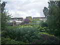
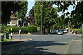
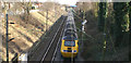
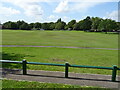
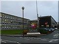
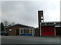
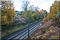
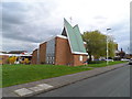
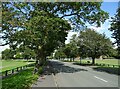
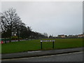
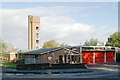
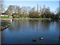
13 photos from this area
Area Information
Key information about the WA7 5TG including its size, population, and administrative classification.
- Area Type
- Postcode
- Area Size
- 9057 m²
- Population
- 1154
- Population Density
- 4437 people/km²
House Prices in WA7 5TG
17
Properties
£189,908
Average Sold Price
£145,000
Lowest Price
£255,000
Highest Price
Showing 17 properties
| Address | Type | Beds | Baths | Last Sale Price | Last Sale Date | |
|---|---|---|---|---|---|---|
| 68 Heath Road, Runcorn, WA7 5TG | house | - | - | £255,000 | Feb 2024 | |
| 70 Heath Road, Runcorn, WA7 5TG | house | - | - | £180,000 | Aug 2015 | |
| 82 Heath Road, Runcorn, WA7 5TG | house | - | - | £145,000 | Feb 2014 | |
| 72 Heath Road, Runcorn, WA7 5TG | house | - | - | £186,500 | Sep 2013 | |
| 84 Heath Road, Runcorn, WA7 5TG | Semi-detached | - | - | £199,950 | Dec 2007 | |
| 88 Heath Road, Runcorn, WA7 5TG | Semi-detached | - | - | £173,000 | Dec 2006 | |
| 104 Heath Road, Runcorn, WA7 5TG | Flat | - | - | - | - | |
| 86 Heath Road, Runcorn, WA7 5TG | house | - | - | - | - | |
| 80 Heath Road, Runcorn, WA7 5TG | house | - | - | - | - | |
| 94 Heath Road, Runcorn, WA7 5TG | house | - | - | - | - |
Page 1 of 2
Energy Efficiency in WA7 5TG
Amenities
Schools
| Rank | School | Type | Entry gender | Ages |
|---|
Explore more schools in this area
Go to Schools tabDemographics
Household Size
Two person
most common
Accommodation Type
Houses
most common
Tenure
71
majority
Ethnic Group
White
most common
Religion
N/A
most common
Household Composition
N/A
most common
Age
47
median
Adults (30-64 years)
most common
Household Deprivation
N/A
with no deprivation
NS-SEC
27
in Lower managerial occupations
Explore more demographic insights in this area
Go to Demographics tabPlanning
Planning Constraints
- Flood RiskPremium
- Ramsar Wetland SitesPremium
- Area of Outstanding Natural BeautyPremium
- Protected Nature ReservePremium
- Protected WoodlandPremium