Area Overview for WA7 2UE
Photos of WA7 2UE
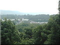
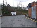
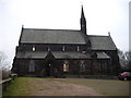
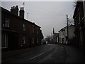
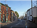
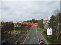
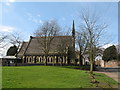
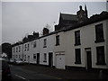
16 photos from this area
Area Information
Key information about the WA7 2UE including its size, population, and administrative classification.
- Area Type
- Postcode
- Area Size
- 4.4 hectares
- Population
- 1394
- Population Density
- 3050 people/km²
House Prices in WA7 2UE
67
Properties
£66,644
Average Sold Price
£30,000
Lowest Price
£125,000
Highest Price
Showing 67 properties
| Address | Type | Beds | Baths | Last Sale Price | Last Sale Date | |
|---|---|---|---|---|---|---|
| 222 The Uplands, Runcorn, WA7 2UE | Bungalow | 3 | 1 | £125,000 | Aug 2023 | |
| 193 The Uplands, Runcorn, WA7 2UE | Terraced | 4 | 1 | £115,000 | Jul 2023 | |
| 248 The Uplands, Runcorn, WA7 2UE | Terraced | 3 | 2 | £85,000 | Jun 2023 | |
| 241 The Uplands, Runcorn, WA7 2UE | Terraced | 3 | 1 | £117,500 | Sep 2022 | |
| 259 The Uplands, Runcorn, WA7 2UE | house | - | - | £102,000 | Jun 2022 | |
| 214 The Uplands, Runcorn, WA7 2UE | house | - | - | £94,000 | Dec 2021 | |
| 220 The Uplands, Runcorn, WA7 2UE | house | - | - | £77,500 | Nov 2019 | |
| 229 The Uplands, Runcorn, WA7 2UE | Bungalow | 3 | - | £61,500 | Sep 2019 | |
| 230 The Uplands, Runcorn, WA7 2UE | Bungalow | - | - | £65,000 | Jul 2019 | |
| 217 The Uplands, Runcorn, WA7 2UE | Terraced | - | - | £71,000 | Nov 2016 |
Page 1 of 7
Energy Efficiency in WA7 2UE
Amenities
Schools
| Rank | School | Type | Entry gender | Ages |
|---|
Explore more schools in this area
Go to Schools tabDemographics
Household Size
Two person
most common
Accommodation Type
Houses
most common
Tenure
55
majority
Ethnic Group
White
most common
Religion
N/A
most common
Household Composition
N/A
most common
Age
47
median
Adults (30-64 years)
most common
Household Deprivation
N/A
with no deprivation
NS-SEC
20
in Lower managerial occupations
Explore more demographic insights in this area
Go to Demographics tabPlanning
Planning Constraints
- Flood RiskPremium
- Ramsar Wetland SitesPremium
- Area of Outstanding Natural BeautyPremium
- Protected Nature ReservePremium
- Protected WoodlandPremium